Category
page 1Geography of the United States

United States Geological Survey
scientific agency of the United States government
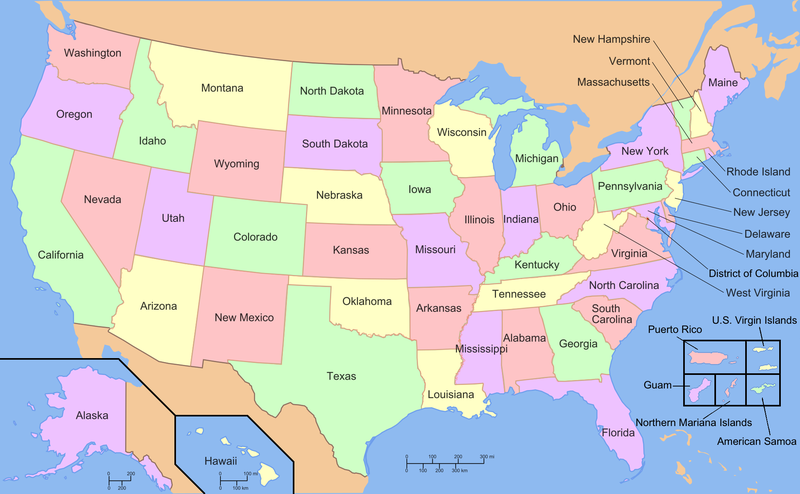
geography of the United States
overview of the geography of the United States of America
Geographic Names Information System
geographical database
Four Corners
region of the United States consisting of the southwestern corner of Colorado, northwestern corner of New Mexico, northeastern corner of Arizona and southeastern corner of Utah
Continental Divide of the Americas
principal hydrological divide of North and South America
time in the United States
time zones in the USA
United States Board on Geographic Names
US geographic naming government agency
Interior Plains
physiographic and geologic region of the United States and Canada

cadastral map
thumb|A plat map that shows the location of a Lot (real estate)|lot for sale
borders of the United States
political borders
public domain
lands considered to belong to the whole community
Eastern Continental Divide
hydrological divide in eastern North America
Upstate
The term upstate may refer to the northerly portions of several U.S. states. On the east coast, upstate generally refers to places away from the Atlantic Ocean. It also can refer to parts of states that have a higher elevation, away from sea level. These regions tend to be rural; exceptions include Delaware and Illinois.
international border states
Wikimedia list article