Category
page 1Regions of Arkansas
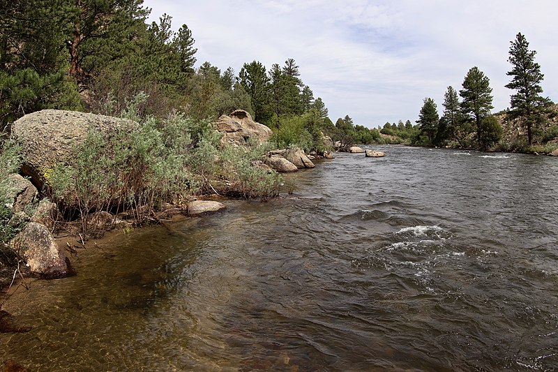
Arkansas River
major tributary of the Mississippi River, United States

Ozarks
thumb|A rural Ozarks scene. Phelps County, Missouri
thumb|The Saint Francois Mountains, viewed here from Knob Lick, Missouri|Knob Lick Mountain, are the exposed geologic core of the Ozarks.
The Ozarks, also known as the Ozark Mountains, Ozark Highlands or Ozark Plateau, are a physiographic region in the U.S. states of Missouri, Arkansas, and Oklahoma, as well as a small area in the southeastern corner of Kansas. The Ozarks cover a significant portion of northern Arkansas and most of the southern half of Missouri, extending from Interstate 40 in central Arkansas to Interstate 70 in central Miss

Ark-La-Tex
right|thumb|293x293px|Map of the Ark-La-Tex region
The Ark-La-Tex (a portmanteau of the abbreviations for Arkansas, Louisiana, and Texas; also stylized as Arklatex or ArkLaTex) is a socio-economic region where the Southern U.S. states of Arkansas, Oklahoma, Louisiana, and Texas join together. The region contains portions of Northwest Louisiana, Northeast Texas, and South Arkansas as well as Oklahoma's southeasternmost county, McCurtain County (part of Choctaw Country).
Boston Mountains
mountain range and ecoregion in Arkansas and Oklahoma, United States
Little Rock–North Little Rock–Conway metropolitan area
metropolitan area in Arkansas, United States
U.S. Interior Highlands
mountainous region in the Central United States
Northwest Arkansas
metropolitan area and region in Arkansas, United States