Category
page 1Regions of the United States

New England
region of the northeasternmost United States

Great Plains
broad expanse of flat land west of the Mississippi River and east of the Rocky Mountains
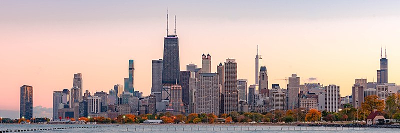
Midwestern United States
one of the four U.S. geographic regions

Mid-Atlantic
region of the United States

Western United States
region comprising the westernmost states of the United States

East Coast of the United States
easternmost coast of the United States, located near the North Atlantic Ocean

West Coast of the United States
term for the westernmost coastal states of the United States, located near the North Pacific Ocean
Delmarva Peninsula
peninsula
Four Corners
region of the United States consisting of the southwestern corner of Colorado, northwestern corner of New Mexico, northeastern corner of Arizona and southeastern corner of Utah
Tornado Alley
area in the U.S. with frequent tornado outbreaks
Piedmont
plateau region located in the eastern United States
Great Lakes region
binational region of the United States and Canada

Appalachia
Appalachia ( ) is a geographic region located in the Appalachian Mountains in the east of North America. In the north, its boundaries stretch from Mount Carleton Provincial Park in New Brunswick, Canada, continuing south through the Blue Ridge Mountains and Great Smoky Mountains into northern Georgia, Alabama, and Mississippi, with West Virginia near the center, being the only state entirely within the boundaries of Appalachia. In 2021, the region was home to an estimated 26.3 million people.

Dixie
thumb|upright=1.0|M. E. Garrison's Map of Dixie published in 1909. This version of Dixie only includes states within the Southeastern United States|Southeast, omitting traditionally included states such as [[Texas or Virginia.]]
list of regions of the United States
Wikimedia list article
Northern United States
region in the United States
Eastern United States
geographical region of the USA
Appalachian Plateau
series of rugged dissected plateaus in the eastern United States
West North Central states
geographic Census Division of the US Census Bureau
Upper Midwest
U.S. region consisting of Minnesota, Wisconsin, Michigan, Iowa, South Dakota, and North Dakota
West South Central states
U.S. Census Bureau region
Central United States
geographical region of the USA
Great Appalachian Valley
major landform in eastern North America

Ark-La-Tex
right|thumb|293x293px|Map of the Ark-La-Tex region
The Ark-La-Tex (a portmanteau of the abbreviations for Arkansas, Louisiana, and Texas; also stylized as Arklatex or ArkLaTex) is a socio-economic region where the Southern U.S. states of Arkansas, Oklahoma, Louisiana, and Texas join together. The region contains portions of Northwest Louisiana, Northeast Texas, and South Arkansas as well as Oklahoma's southeasternmost county, McCurtain County (part of Choctaw Country).
The Dakotas
The Dakotas, also known as simply Dakota, is a collective term for the U.S. states of North Dakota and South Dakota. It has been used historically to describe the Dakota Territory, and is still used for the collective heritage, culture, geography, fauna, sociology, economy, and cuisine of the two states.
Flyover country
American phrase
Columbia Basin
drainage basin of the Columbia River in western North America
New South
American slogan
Inland Northwest
area of the northwestern United States between the Cascade Range and Rocky Mountains, comprising eastern Washington, northeastern Oregon, northern Idaho, and extreme western Montana

Dixie Alley
Area in Southern United States known for violent tornadoes
Dissected Till Plains
physiographic section of the central United States
Upstate
The term upstate may refer to the northerly portions of several U.S. states. On the east coast, upstate generally refers to places away from the Atlantic Ocean. It also can refer to parts of states that have a higher elevation, away from sea level. These regions tend to be rural; exceptions include Delaware and Illinois.
Middle America
colloquial term for the United States heartland