Category
page 1States and territories established in the 6th century BC

Iran
Iran, officially the Islamic Republic of Iran, and also known as Persia, is a country in West Asia. It borders Iraq to the west, Turkey, Azerbaijan, and Armenia to the northwest, the Caspian Sea to the north, Turkmenistan to the northeast, Afghanistan to the east, Pakistan to the southeast, and the Gulf of Oman and the Persian Gulf to the south. With a population of over 92 million, Iran ranks 17th globally in both geographic size and population. It is divided into five regions with 31 provinces. Tehran is the nation's capital, largest city, and financial center.

Roman Republic
period of ancient Roman civilization (509 BC–27 BC)
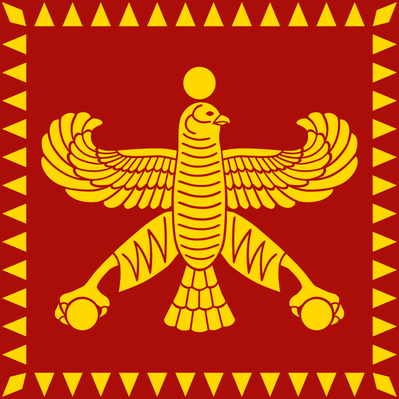
Achaemenid Empire
Iranian (Persian) empire (550–330 BC)

Mahajanapada
The Mahājanapadas were sixteen kingdoms and aristocratic republics that existed in ancient India from the sixth to fourth centuries BCE, during the second urbanisation period.
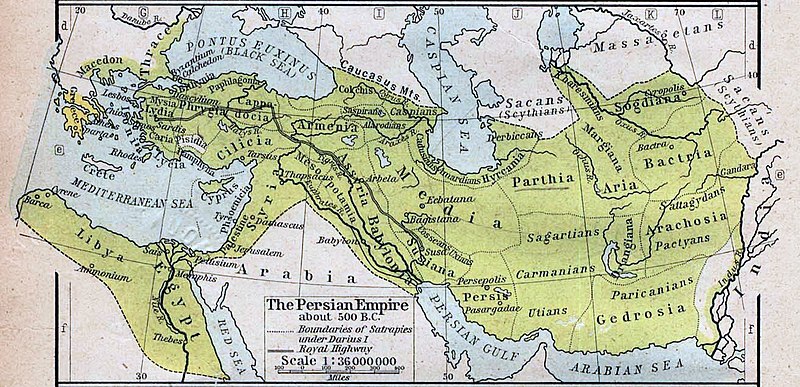
Hyrcania
Hyrcania (; Hyrkanía, Old Persian: 𐎺𐎼𐎣𐎠𐎴 Varkâna, Middle Persian: 𐭢𐭥𐭫𐭢𐭠𐭭 Gurgān, Akkadian: Urqananu) is a historical region composed of the land south-east of the Caspian Sea in modern-day Iran and Turkmenistan, bound in the south by the Alborz mountain range and the Kopet Dag in the east.
Twenty-seventh Dynasty of Egypt
first Achaemenid rule on Egypt (525–404 BC)
Yehud Medinata
province of the ancient Achaemenid Empire
.jpg)
Paropamisadae
Paropamisadae or Parapamisadae () was a satrapy of the Alexandrian Empire in modern Pakistan, which largely coincided with the Achaemenid province of Parupraesanna. It consisted of the districts of Sattagydia (Bannu basin), Gandhara (Kabul, Peshawar, and Taxila), and Oddiyana (Swat Valley). Paruparaesanna is mentioned in the Akkadian language and Elamite language versions of the Behistun Inscription of Darius the Great, whereas in the Old Persian version it is called Gandāra. The entire satrapy was subsequently ceded by Seleucus I Nicator to Chandragupta Maurya after Mauryan Victory in Selucid
Haryanka dynasty
second ruling dynasty of Magadha
%20(4686499402).jpg)
Skudra
Skudra () was a province (satrapy) of the Persian Achaemenid Empire in Europe between 510s BC and 479 BC. Its name is attested in Persian and Egyptian inscriptions (an Egyptian record of c. 498–497 BC, and a list on the tomb of Darius the Great at Naqsh-e Rustam, c. 486 BC. It is believed to have comprised the lands now known as Thrace and Macedon.
Carmania Satrapy
Persian region

Sattagydia Satrapy
thumb|The name for Sattagydia (:Wikt:𐎰𐎫𐎦𐎢𐏁|𐎰𐎫𐎦𐎢𐏁, Thataguš) in the [[DNa inscription of Darius I.]]
Sattagydia or Thatagush (Old Persian: 𐎰𐎫𐎦𐎢𐏁 Thataguš, country of the "hundred cows") was one of the easternmost regions of the Achaemenid Empire, part of its Seventh tax district according to Herodotus, along with Gandārae, Dadicae and Aparytae. It was situated east of the Sulaiman Mountains up to the Indus in the Kurram River basin around Bannu in modern day's southern Khyber Pakhtunkhwa, Pakistan. Sattagydia was no longer mentioned by the third century BC, probably having been a
Yehud (Babylonian province)
province of the ancient Neo-Babylonian Empire

Hellespontine Phrygia
Satrapy of the Achaemenid Empire (525-321 BC)
Achaemenid Assyria
aspect of history
Kolathunadu
Kolathunadu (Malayalam: കോലത്തുനാട്, ) (Kola Swarupam, as Kingdom of Cannanore in foreign accounts, Chirakkal (Chericul) in later times) was one of the four most powerful kingdoms on the Malabar Coast during the arrival of the Portuguese Armadas in India, along with Zamorin, the kingdom of Cochin and Quilon. Kolattunādu had its capital at Ezhimala and was ruled by the Kolattiri royal family and roughly comprised the North Malabar region of Kerala state in India. Traditionally, Kolattunādu is described as the land lying between the Chandragiri river in the north and the Korappuzha river in the