Category
page 1Use New Zealand English from March 2021
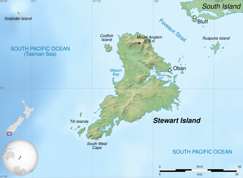
Stewart Island/Rakiura
New Zealand's third largest island, 30 km south of the South Island
MY Ady Gil
ship

Ōhura
Ōhura is a small town in the west of the North Island of New Zealand. It is located to the west of Taumarunui in the area known as the King Country, in inland Manawatū-Whanganui. It lies on the banks of the Mangaroa Stream, a tributary of the Ōhura River which is a tributary of the Whanganui River.
Waverley
locality in South Taranaki District, Taranaki Region, New Zealand
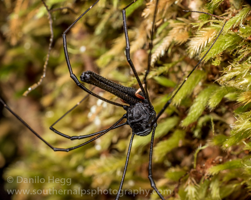
Pantopsalis cheliferoides
species of harvestman endemic to New Zealand
Pātea
thumb|The Aotea canoe remembrance arch in Pātea
Pātea ( ) is the third-largest town in South Taranaki District, New Zealand. It is on the western bank of the Pātea River, 61 kilometres north-west of Whanganui on . Hāwera is 27 km to the north-west, and Waverley 17 km to the east. The Pātea River flows through the town from the north-east and into the South Taranaki Bight.
Manaia
locality in South Taranaki District, Taranaki Region, New Zealand
Hemiandrus bilobatus
species of wētā endemic to New Zealand
Otautau
Otautau is a small farming, forestry and milling town located inland on the western edge of the Southland Plains of New Zealand on the banks of the Aparima River. Otautau is located approximately north west of Invercargill. The average elevation of Otautau is 60 metres.

Going South
2021 memoir and photobook by Lorde
Normanby
locality in South Taranaki District, Taranaki Region, New Zealand
2021 New Zealand National League
football Championship
Waitōtara
Waitōtara is a town in South Taranaki, New Zealand. Waverley is 10 km to the north-west, and Whanganui is 34 km to the south-east. State Highway 3 passes through it. The Waitōtara River flows past the east side of the town.