Stewart Island/Rakiura
Also known as Stewart Island, Rakiura
New Zealand's third largest island, 30 km south of the South Island
AI overview
Stewart Island, also known as Rakiura, is New Zealand's third largest island, located about 30 kilometers south of the South Island. It is a significant part of New Zealand's geography and Māori heritage, with "Rakiura" being its indigenous name.
AI-generated from the Wikipedia summary — may contain errors.
Wikidata facts
- Population
- 381
- Area
- 1746
- Elevation
- 980
- Image
- Stewart Island.jpg
Show 2 more facts
- Commons category
- Stewart Island
- native label
- Stewart Island
~22 min read
Article
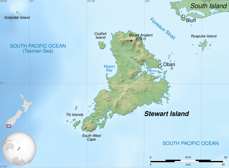
Stewart Island (Māori: Rakiura, lit. 'glowing skies', officially Stewart Island / Rakiura, formerly New Leinster) is the third-largest and southernmost inhabited island of New Zealand, lying 30 kilometres (16 nautical miles) south of the South Island, separated by Foveaux Strait.
It is a roughly triangular island with a land area of 1,746 km (674 sq mi). Its 164-kilometre (102 mi) coastline is indented by Paterson Inlet (east), Port Pegasus (south), and Mason Bay (west). The island is generally hilly (rising to 980 metres or 3,220 feet at Mount Anglem) and densely forested. Almost all the island is owned by the New Zealand government, and over 80 percent of the island forms Rakiura National Park.