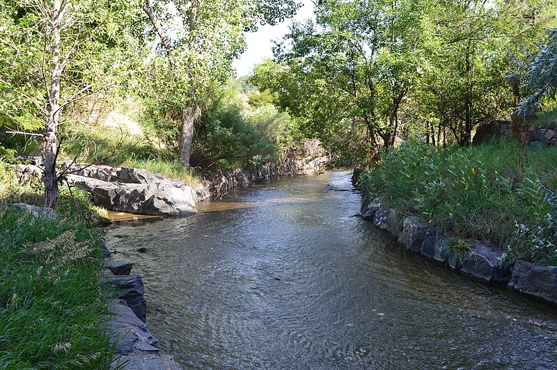
File:Little_Dry_Creek.JPG · Wikimedia Commons · See Wikimedia Commons
Arapahoe County
Sign in to saveAlso known as Arapahoe County, Colorado, Arapahoe County, CO
county in Colorado, United States
In the Vinony graph
Vinony's link graph records 1,697 inbound references to Arapahoe County, and connects out to Colorado, Denver and African Americans.
The entry is geolocated on the map in CO.
Vinony files it under 1861 establishments in Colorado Territory, Arapahoe County, Colorado and Colorado counties.
Vinony links it to 51 Wikipedia language editions.
Key facts
- Country
- United States
- State
- Colorado
- Founded
- November 1, 1861
- Named after
- The Arapaho Nation
- Seat
- Littleton
- Largest city
- Aurora
- Total
- 805 sq mi (2,080 km )
- Land
- 798 sq mi (2,070 km )
- Water
- 7.3 sq mi (19 km ) 0.9%
- Estimate 2025
- 673,820
- Density
- 820/sq mi (317/km )
- Time zone
- UTC−7 ( Mountain )
- Summer dst
- UTC−6 ( MDT )
- Congressional districts
- 1st , 4th , 6th
- Website
- www .arapahoegov .com
via Wikipedia infobox
Wikidata facts
- Country
- United States
- Located in
- Colorado
- Capital
- Littleton
- Population
- 655070
- Area
- 2086
- Time zone
- UTC−07:00
- Shares border with
- Jefferson County
- Official website
- www.co.arapahoe.co.us
- Image
- LittletonMunicipalCourthouse.jpg
- Households
- 241889
Show 10 more facts
- inception
- 1861-11-01
- category of associated people
- Category:People from Arapahoe County, Colorado
- Commons category
- Arapahoe County, Colorado
- topic's main category
- Category:Arapahoe County, Colorado
- water as percent of area
- 0.9
- native label
- Arapahoe County
- social media followers
- 10836
- different from
- Arapaho
- per capita income
- 42184
- topic has template
- Template:Arapahoe County, Colorado
Sources (11)
via Wikidata · CC0
~12 min read
Encyclopedic overview
Arapahoe County (/əˈræpəhoʊ/ ə-RAP-ə-hoh) is a county located in the U.S. state of Colorado. As of the 2020 census, its population was 655,070, making it the third-most populous county in Colorado. The county seat is Littleton, and the most populous city is Aurora. The county was named for the Arapaho Native American tribe, who once lived in the region. Arapahoe County is part of the Denver-Aurora-Lakewood metropolitan statistical area. Arapahoe County calls itself "Colorado's First County", since its origins antedate the Pike's Peak Gold Rush.
History
Excerpted from Wikipedia’s “Arapahoe County” article, available under the CC BY-SA 4.0 licence.