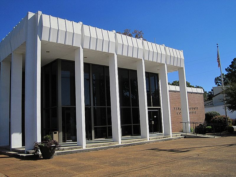
File:Batesville_MS_013.jpg · Wikimedia Commons · See Wikimedia Commons
Batesville
Sign in to saveAlso known as Batesville, Mississippi, Batesville, MS
city in Mississippi, United States
Key facts
- Country
- United States
- State
- Mississippi
- County
- Panola
- Type
- Mayor-Aldermen
- Mayor
- Hal Ferrell ( I )
- Total
- 19.95 sq mi (51.67 km )
- Land
- 19.95 sq mi (51.67 km )
- Water
- 0 sq mi (0.00 km )
- Elevation
- 289 ft (88 m)
- Density
- 377.1/sq mi (145.59/km )
- Time zone
- UTC-6 ( Central (CST) )
- Summer dst
- UTC-5 (CDT)
- Fips code
- 28-03620
- Website
- batesville .ms
via Wikipedia infobox
Wikidata facts
- Instance of
- county seat
- Official name
- Batesville
- Country
- United States
- Located in
- Panola County
- Population
- 7523
- Area
- 51.674145
- Elevation
- 71
- Time zone
- UTC−06:00
- Capital of
- Panola County
- Official website
- www.cityofbatesvillems.com
- Image
- Batesville MS 013.jpg
- Households
- 2394
- Dialing code
- 662
Show 5 more facts
- Commons category
- Batesville, Mississippi
- postal code
- 38606
- P8168
- Haya Harareet
- water as percent of area
- 0.0037
- per capita income
- 24989
Sources (7)
via Wikidata · CC0
~6 min read
Encyclopedic overview
Batesville is a city in Panola County, Mississippi, United States. The population was 7,523 at the 2020 census, up from 7,463 at the 2010 census.
Batesville is one of two county seats which the legislature established for Panola County, related to a longstanding rivalry between towns on either side of the Tallahatchie River; the other is Sardis, located north of the river.
Excerpted from Wikipedia’s “Batesville” article, available under the CC BY-SA 4.0 licence.