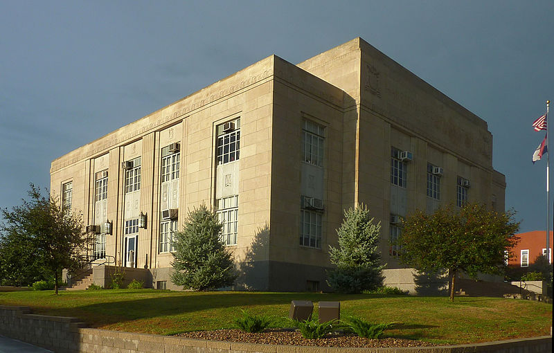
File:Bethany-harrison.jpg · Wikimedia Commons · See Wikimedia Commons
Key facts
- Country
- United States
- State
- Missouri
- County
- Harrison
- Bethany
- June 27, 1845 ; 180 years ago ( June 27, 1845 )
- Total
- 4.48 sq mi (11.60 km )
- Land
- 4.44 sq mi (11.50 km )
- Water
- 0.039 sq mi (0.10 km )
- Elevation
- 892 ft (272 m)
- Density
- 656.4/sq mi (253.42/km )
- Time zone
- UTC-6 ( Central (CST) )
- Summer dst
- UTC-5 (CDT)
- Fips code
- 29-05068
- Website
- bethanymo.com
via Wikipedia infobox
Wikidata facts
- Instance of
- city in the United States
- Official name
- Bethany
- Country
- United States
- Located in
- Harrison County
- Population
- 2915
- Area
- 11.598089
- Elevation
- 272
- Capital of
- Harrison County
- Official website
- www.bethanymo.com
- Image
- Edna Cuddy Memorial House and Gardens.jpg
- Households
- 1301
- Dialing code
- 660
Show 7 more facts
- postal code
- 64424
- different from
- Bethany
- inception
- 1860-01-06
- P8168
- Green-Wood Cemetery
- water as percent of area
- 0.8239
- per capita income
- 19784
- Commons category
- Bethany, Missouri
Sources (12)
via Wikidata · CC0
~10 min read
Encyclopedic overview
Bethany is a city in, and the county seat of, Harrison County, Missouri, approximately midway between Kansas City and Des Moines on Interstate 35. The population was 2,915 at the 2020 census.
History
Excerpted from Wikipedia’s “Bethany” article, available under the CC BY-SA 4.0 licence.