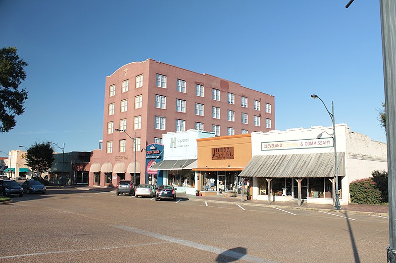
File:Grover_Hotel.JPG · Wikimedia Commons · See Wikimedia Commons
Bolivar County
Sign in to saveAlso known as Bolivar County, Mississippi, Bolivar County, Miss., Bolivar County, MS, County of Bolivar
county in Mississippi, United States
Key facts
- Country
- United States
- State
- Mississippi
- Established
- February 9, 1836 , (190 years ago) ( 1836-02-09 )
- Named after
- Simón Bolívar
- Seat
- Rosedale and Cleveland
- Largest city
- Cleveland
- Total
- 906 sq mi (2,350 km )
- Land
- 877 sq mi (2,270 km )
- Water
- 29 sq mi (75 km ) 3.2%
- Estimate 2025
- 28,262
- Density
- 35.3/sq mi (13.6/km )
- Time zone
- UTC−6 ( Central )
- Summer dst
- UTC−5 ( CDT )
- Congressional district
- 2nd
- Website
- co .bolivar .ms .us
via Wikipedia infobox
Wikidata facts
- Named after
- Simón Bolívar
- Official name
- County of Bolivar
- Country
- United States
- Located in
- Mississippi
- Contains
- Rosedale
- Capital
- Rosedale
- Population
- 30985
- Area
- 2346
- Shares border with
- Chicot County
- Official website
- www.co.bolivar.ms.us
- Image
- Grover Hotel.JPG
- Households
- 12114
Show 7 more facts
- topic's main category
- Category:Bolivar County, Mississippi
- Commons category
- Bolivar County, Mississippi
- inception
- 1836-02-09
- category of associated people
- Category:People from Bolivar County, Mississippi
- water as percent of area
- 3.2
- native label
- Bolivar County
- per capita income
- 21420
Sources (9)
via Wikidata · CC0
~9 min read
Encyclopedic overview
Bolivar County (/ˈbɒlɪvər/ BOL-i-vər) is a county located on the western border of the U.S. state of Mississippi. As of the 2020 census, the population was 30,985. Its county seats are Rosedale and Cleveland. The county is named in honor of Simón Bolívar, early 19th-century leader of the independence of several South American territories from Spain.
The Cleveland, Mississippi, Micropolitan Statistical Area includes all of Bolivar County. It is located in the Mississippi Delta, or Yazoo Basin, of Mississippi. This area was first developed for cotton plantations. Large industrial-scale agricultural operations have reduced the number of farm workers needed, and the population is half of its peak in 1930. Today, soybeans, corn, and rice are also commodity crops.
Excerpted from Wikipedia’s “Bolivar County” article, available under the CC BY-SA 4.0 licence.