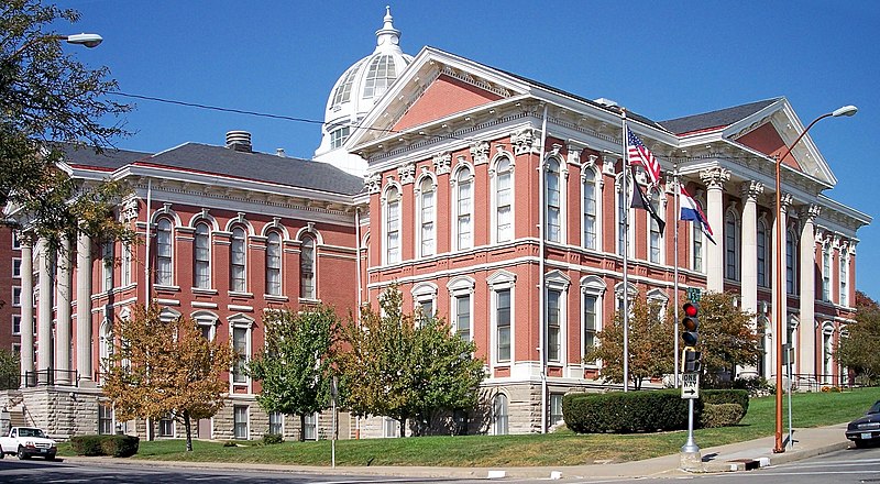
File:Buchanan_County_Courthouse_St_Joseph_Missouri.jpg · Wikimedia Commons · See Wikimedia Commons
Buchanan County
Sign in to saveAlso known as Buchanan County, Missouri, Buchanan County, MO
county in Missouri, United States
Key facts
- Country
- United States
- State
- Missouri
- Founded
- December 31, 1838
- Named after
- James Buchanan
- Seat
- St. Joseph
- Largest city
- St. Joseph
- Total
- 415 sq mi (1,070 km )
- Land
- 408 sq mi (1,060 km )
- Water
- 6.6 sq mi (17 km ) 1.6%
- Estimate 2025
- 83,540
- Density
- 200/sq mi (77/km )
- Time zone
- UTC−6 ( Central )
- Summer dst
- UTC−5 ( CDT )
- Congressional district
- 6th
- Website
- www .co .buchanan .mo .us
via Wikipedia infobox
Wikidata facts
- Named after
- James Buchanan
- Country
- United States
- Located in
- Missouri
- Contains
- St. Joseph
- Capital
- St. Joseph
- Population
- 84793
- Area
- 1074
- Shares border with
- Atchison County
- Official website
- www.co.buchanan.mo.us
- Image
- Buchanan County Courthouse St Joseph Missouri.jpg
- Households
- 33642
Show 9 more facts
- water as percent of area
- 1.6
- native label
- Buchanan County
- Commons category
- Buchanan County, Missouri
- topic's main category
- Category:Buchanan County, Missouri
- different from
- Buchanan County
- inception
- 1839-12-31
- category for people born here
- Category:Births in Buchanan County, Missouri
- category of associated people
- Category:People from Buchanan County, Missouri
- per capita income
- 26854
Sources (9)
via Wikidata · CC0
~15 min read
Encyclopedic overview
Buchanan County is located in the U.S. state of Missouri. As of the 2020 United States census, the population was 84,793. Its county seat is St. Joseph. When originally formed in 1838, the county was named Roberts County, after settler Hiram Roberts. It was renamed in 1839 for James Buchanan, then a U.S. Senator and later President of the United States. The county was formed from land annexed to Missouri, as were five other counties. Buchanan County is included in the Kansas City CSA.
Geography
Excerpted from Wikipedia’s “Buchanan County” article, available under the CC BY-SA 4.0 licence.