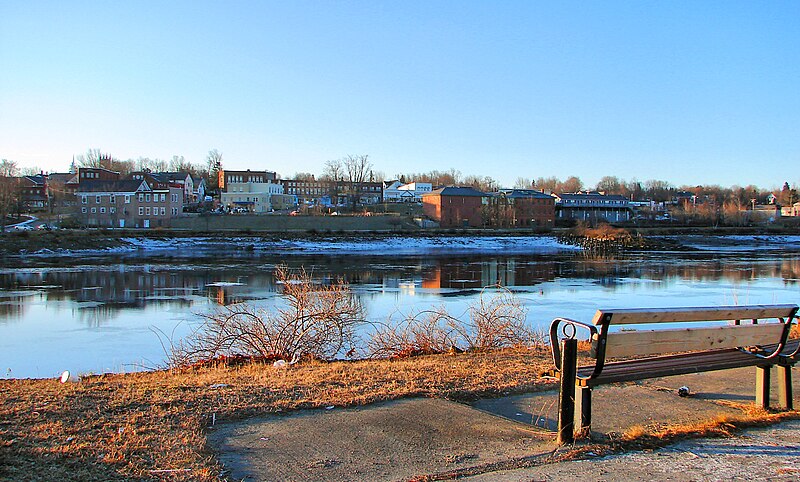
File:Calais_ME.jpg · Wikimedia Commons · See Wikimedia Commons
Key facts
- Country
- United States
- State
- Maine
- County
- Washington
- Incorporated
- June 16, 1809
- Total
- 40.11 sq mi (103.88 km )
- Land
- 34.32 sq mi (88.90 km )
- Water
- 5.78 sq mi (14.98 km )
- Elevation
- 315 ft (96 m)
- Density
- 89.7/sq mi (34.64/km )
- Time zone
- UTC-05:00 ( EST )
- Summer dst
- UTC-04:00 ( EDT )
- Zip code
- 04619
- Fips code
- 23-09585
- Website
- www .calaismaine .org
via Wikipedia infobox
Wikidata facts
- Instance of
- city in the United States
- Official name
- Calais
- Country
- United States
- Located in
- Washington County
- Population
- 3079
- Area
- 103.877078
- Elevation
- 13
- Body of water
- Saint Croix River
- Official website
- www.calaismaine.govoffice.com
- Image
- Calais ME.jpg
- Households
- 1666
- Dialing code
- 207
Show 11 more facts
- Commons category
- Calais, Maine
- topic's main category
- Category:Calais, Maine
- postal code
- 04619
- inception
- 1779-00-00
- different from
- Calais
- IPA transcription
- ˈkæ.ləs
- P8168
- Montepulciano
- water as percent of area
- 14.4226
- per capita income
- 26180
- described by source
- Encyclopædia Britannica 11th edition
- P12749
- Walther Arndt
Sources (9)
via Wikidata · CC0
~12 min read
Encyclopedic overview
Calais (/ˈkælɪs/; similar to the word "callous") is a city in Washington County, Maine, United States. As of the 2020 census, it had a population of 3,079, making Calais the largest municipality by population in Washington County, but the third least-populous city in Maine (after Hallowell and Eastport). The city has three Canada–US border crossings (also known as ports of entry) over the St. Croix River connecting to St. Stephen, New Brunswick, Canada.
Calais has been a city of commerce and is recognized as the primary shopping center of eastern Washington County and of Charlotte County, New Brunswick. Retail, service, and construction businesses are the primary components of the Calais economy.
Excerpted from Wikipedia’s “Calais” article, available under the CC BY-SA 4.0 licence.