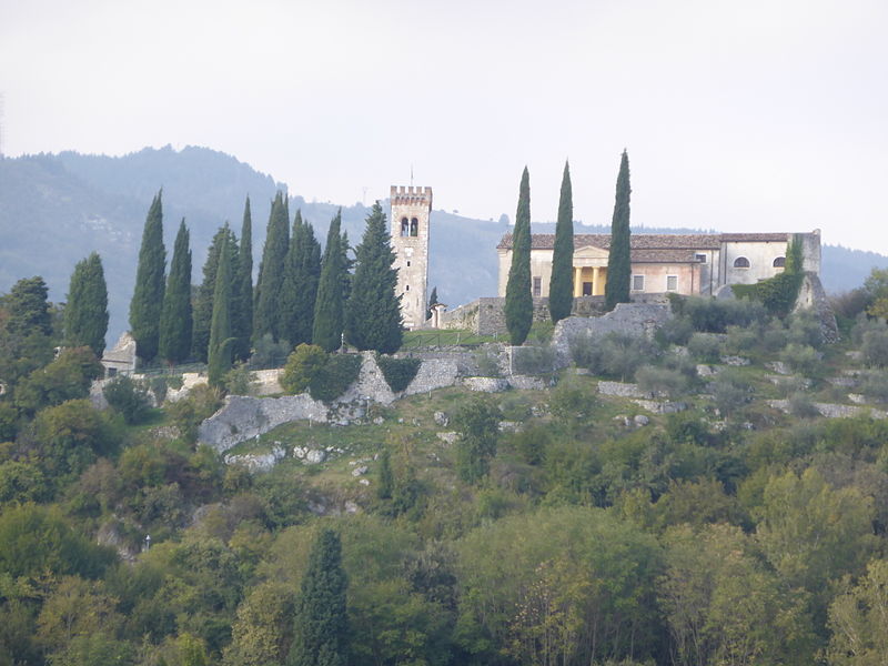
File:Castello_Caneva_02.JPG · Wikimedia Commons · See Wikimedia Commons
Caneva
Sign in to saveCaneva (; ; , ) is a (municipality) in the Regional decentralization entity of Pordenone in the Italian region of Friuli-Venezia Giulia, located about northwest of Trieste and about west of Pordenone. As of 31 December 2004, it had a population of 6,374 and an area of .
Key facts
- Italian comune.name
- Caneva
- Italian comune.official_name
- Comune di Caneva
- Italian comune.image_skyline
- Castello Caneva 02.JPG
- Italian comune.region
- Friuli-Venezia Giulia
- Italian comune.province
- Pordenone (PN)
- Italian comune.area_total_km2
- 42.0
- Italian comune.population_total
- 6374
- Italian comune.population_as_of
- Dec. 2004
- Italian comune.postal_code
- 33070
- Italian comune.area_code
- 0434
via Wikipedia infobox
Wikidata facts
- Official name
- Caneva
- Population
- 6256
- Area
- 41.79
- Elevation
- 57
- Official website
- www.comune.caneva.pn.it
- Image
- Torre campanaria castello Caneva 01.jpg
- Dialing code
- 0434
- Licence plate code
- PN
Show 2 more facts
- Commons category
- Caneva
- postal code
- 33070
Sources (7)
via Wikidata · CC0
~3 min read
Article
5 sectionsContents
- Demographic evolution
- Twin towns
- Gallery
- References
- External links
Caneva (; ; , ) is a (municipality) in the Regional decentralization entity of Pordenone in the Italian region of Friuli-Venezia Giulia, located about northwest of Trieste and about west of Pordenone. As of 31 December 2004, it had a population of 6,374 and an area of .
Caneva borders the following municipalities: Cordignano, Fontanafredda, Fregona, Polcenigo, Sacile, Sarmede, Tambre.
Gallery (2)
On the map
2 mapped locations