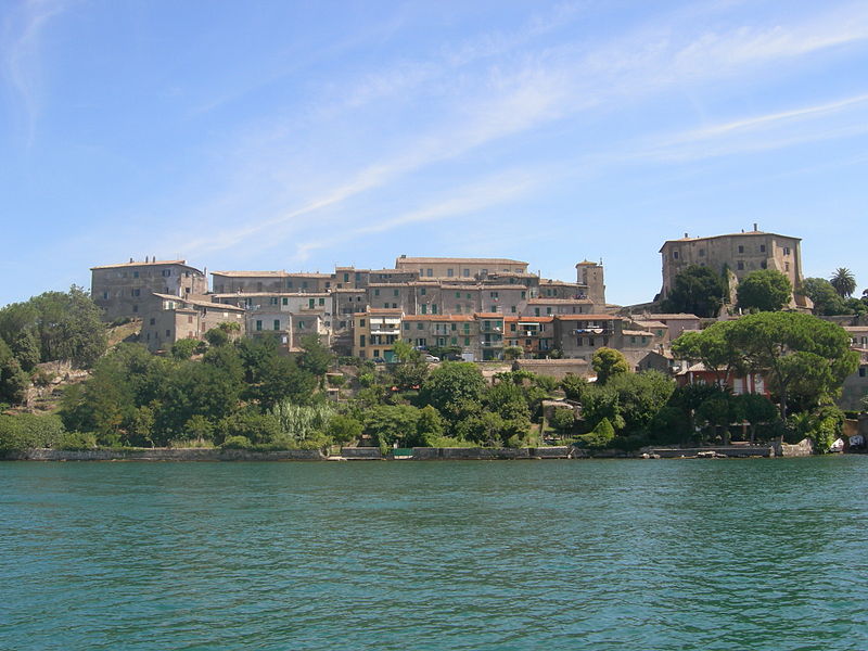
File:Capodimonte,Latium,Italy.JPG · Wikimedia Commons · See Wikimedia Commons
Key facts
- Country
- Italy
- Region
- Lazio
- Province
- Viterbo (VT)
- Mayor
- Mario Fanelli
- Total
- 61.29 km (23.66 sq mi)
- Elevation
- 334 m (1,096 ft)
- Density
- 27.95/km (72.39/sq mi)
- Demonym
- Capodimontani
- Time zone
- UTC+1 ( CET )
- Summer dst
- UTC+2 ( CEST )
- Postal code
- 01010
- Dialing code
- 0761
- Website
- Official website
via Wikipedia infobox
Wikidata facts
- Instance of
- comune of Italy
- Official name
- Capodimonte
- Demonym
- capodimontani
- Country
- Italy
- Population
- 1667
- Area
- 61.29
- Elevation
- 334
- Time zone
- UTC+02:00
- Shares border with
- Latera
- Official website
- www.comune.capodimonte.vt.it
- Image
- Capodimonte,Latium,Italy.JPG
- Dialing code
- 0761
- Licence plate code
- VT
- Patron saint
- Saint Sebastian
Show 4 more facts
- Commons category
- Capodimonte (Italy)
- postal code
- 01010
- topic's main category
- Category:Capodimonte (Italy)
- Commons gallery
- Capodimonte (Italy)
Sources (6)
via Wikidata · CC0
~1 min read
Encyclopedic overview
Capodimonte is a comune (municipality) in the Province of Viterbo in the Italian region Lazio, located about 90 kilometres (56 mi) northwest of Rome and about 20 kilometres (12 mi) northwest of Viterbo. It is on the southwestern shore of Lake Bolsena. In contrast to the other communities on the lake, Capodimonte has a headland with a sheltered harbor.
Capodimonte borders the following municipalities via the common border, the lake: Bolsena, Gradoli, Latera, Marta, Montefiascone, Piansano, San Lorenzo Nuovo, Tuscania, Valentano.
Excerpted from Wikipedia’s “Capodimonte” article, available under the CC BY-SA 4.0 licence.