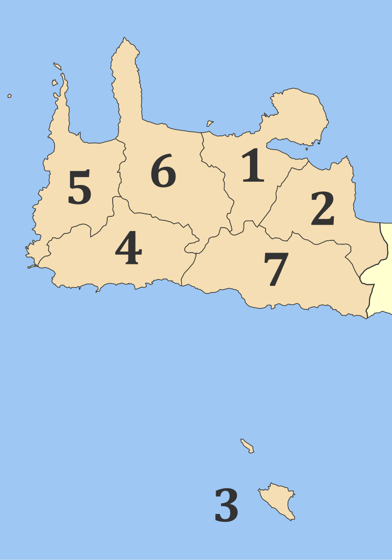
File:2010_Dimi_Chanion_numbered.svg · Wikimedia Commons · See Wikimedia Commons
Chania Regional Unit
Sign in to saveregional unit of Crete, Greece
Key facts
- Country
- Greece
- Administrative region
- Crete
- Seat
- Chania
- Total
- 2,376 km (917 sq mi)
- Density
- 65.95/km (170.8/sq mi)
- Time zone
- UTC+2 ( EET )
- Summer dst
- UTC+3 ( EEST )
- Postal code
- 73x xx, 740 55
- Area code
- 282x0, 28310
- Vehicle registration
- ΧΝ
- Website
- www .chania .gr
via Wikipedia infobox
Wikidata facts
- Instance of
- prefecture of Greece
- Country
- Greece
- Located in
- Crete Region
- Contains
- Sfakia Municipality
- Capital
- Chania
- Population
- 142472
- Area
- 2376
- Time zone
- UTC+03:00
- Official website
- www.chania.eu
- Image
- Aerial view of Balos beach.jpg
- Licence plate code
- XN
Show 4 more facts
- Commons category
- Chania Regional Unit
- topic's main category
- Category:Chania (regional unit)
- start time
- 1913-00-00
- postal code
- 73x xx
via Wikidata · CC0
~5 min read
Encyclopedic overview
Chania (Greek: Περιφερειακή ενότητα Χανίων), also spelled Hania, is one of the four regional units of Crete; it covers the westernmost quarter of the island. Its capital is the city of Chania. Chania borders only one other regional unit: that of Rethymno to the east. The western part of Crete is bounded to the north by the Cretan Sea (part of the Aegean Sea) and to the west and south by the Mediterranean Sea and Libyan Sea. The regional unit also includes the southernmost island of Europe, Gavdos.
Geography
Excerpted from Wikipedia’s “Chania Regional Unit” article, available under the CC BY-SA 4.0 licence.