
Črnomelj
Sign in to saveČrnomelj (; in older sources also Černomelj, ) is a town in southeastern Slovenia. It is the seat of the Municipality of Črnomelj. It lies on the left bank of the Lahinja and Dobličica rivers. The municipality is at the heart of the area of White Carniola, the southeastern part of the traditional region of Lower Carniola. It is now included in the Southeast Slovenia Statistical Region. It includes the hamlets of Čardak, Kočevje, Kozji Plac, Loka, and Nova Loka.
OverviewAI-generated
Črnomelj is a city in Slovenia that serves as the capital of the Črnomelj Municipality. It is situated at an elevation of 172 meters above sea level and covers an area of 12.9 square kilometers. The city operates within the UTC+01:00 and UTC+02:00 time zones and uses the postal code 8340.
The population of Črnomelj is 5,496, consisting of 2,766 males and 2,730 females. The official name of the city is Črnomelj, and it is located in the administrative territorial entity of the Črnomelj Municipality.
Synthesized by Vinony from 40 facts across 7 sources: Wikidata, Openweathermap, OpenStreetMap, GeoNames, Firecrawl, Vinony graph, Geo. Generated from structured data (not the Wikipedia text) and checked against those facts — may still contain errors.
Weather now
Place details
- Locality
- Črnomelj
- Region
- Municipality of Črnomelj
- Country
- Slovenija
- Population
- 5,496
- Timezone
- Europe/Ljubljana
via OpenStreetMap · GeoNames
Key facts
- Settlement.name
- Črnomelj
- Settlement.native_name_lang
- sl
- Settlement.settlement_type
- Town
- Settlement.image_caption
- From top, left to right: Črnomelj from above, Town center, Holy Spirit Church, St. Peter's Church, Musical School, Bridge into old town
- Settlement.image_flag
- Flag of Črnomelj.svg
- Settlement.image_shield
- Coat of arms of Črnomelj (since 2021).svg
- Settlement.pushpin_map
- Slovenia
- Settlement.pushpin_map_caption
- Location of Črnomelj in Slovenia
- Settlement.subdivision_type
- Country
- Settlement.subdivision_type1
- Traditional region
- Settlement.subdivision_name1
- White Carniola
- Settlement.subdivision_type2
- Statistical region
- Settlement.subdivision_name2
- Southeast Slovenia
- Settlement.subdivision_type3
- Municipality
- Settlement.subdivision_name3
- Črnomelj
- Settlement.area_total_km2
- 12.9
- Settlement.elevation_m
- 172
- Settlement.population_total
- 5496
via Wikipedia infobox
Official website
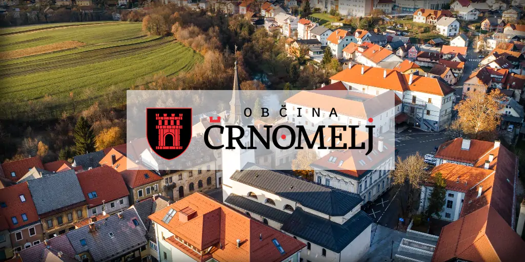
Občina Črnomelj
Občina Črnomelj se nahaja na skrajnem jugovzhodu Slovenije z najjužnejšo točko države v vasi Kot v krajevni skupnosti Sinji vrh. Obsega 339,9 km2 površine, kar predstavlja preko 50% celotne površine Bele krajine, zato je občina Črnomelj tudi največja občina v Beli krajini. Občina šteje nekaj manj kot 15.000 prebivalcev in sodi tako po površini kot po številu prebivalcev med večje slovenske občine.
crnomelj.si →Link to the official site · 8,429 chars · not written by Vinony
Wikidata facts
- Instance of
- city
- Official name
- Črnomelj
- Country
- Slovenia
- Located in
- Črnomelj Municipality
- Population
- 5496
- Area
- 12.9
- Elevation
- 150
- Time zone
- UTC+02:00
- Capital of
- Črnomelj Municipality
- Official website
- www.crnomelj.si
- Image
- Občina Črnomelj.jpg
Show 8 more facts
- Commons category
- Črnomelj
- topic's main category
- Category:Črnomelj
- postal code
- 8340
- P8168
- Hans Reiser
- female population
- 2730
- male population
- 2766
- native label
- Črnomelj
via Wikidata · CC0
~6 min read
Encyclopedic overview
13 sectionsContents
- Name
- History
- Prehistory
- Middle Ages
- Modern history
- Mass grave
- Recent
- Landmarks
- Gallery
- Culture
- Notable people
- References
- External links
Črnomelj (; in older sources also Černomelj, ) is a town in southeastern Slovenia. It is the seat of the Municipality of Črnomelj. It lies on the left bank of the Lahinja and Dobličica rivers. The municipality is at the heart of the area of White Carniola, the southeastern part of the traditional region of Lower Carniola. It is now included in the Southeast Slovenia Statistical Region. It includes the hamlets of Čardak, Kočevje, Kozji Plac, Loka, and Nova Loka.
==Name== Črnomelj was first attested in written sources in 1228 as Schirnomel (and as Zernomel in 1263, Zermenli in 1277, and Tscherneml in 1490). The name is derived from *Čьrnomľь, based on the hypocorism *Čьrnomъ, thus originally meaning 'Črnom's settlement'. In the modern German the name was Tschernembl.
Excerpted from Wikipedia’s “Črnomelj” article, available under the CC BY-SA 4.0 licence.
Gallery (3)
On the map
2 mapped locations