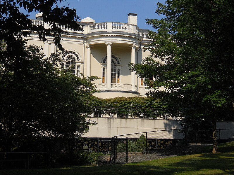
File:Rear_View_Peabody_Institute_Library_Danvers_August_2012.JPG · Wikimedia Commons · See Wikimedia Commons
Danvers
Sign in to saveAlso known as Salem Village, Danvers, Massachusetts, Danvers, MA
town in Essex County, Massachusetts, United States
Key facts
- Country
- United States
- State
- Massachusetts
- County
- Essex
- Named after
- Danvers Osborn
- Type
- Representative town meeting
- Town manager
- Jill Cahill
- Board of selectmen
- Daniel C. Bennett, Michael Bean, Dutrochet Djoko, Maureen A. Bernard , David A. Mills
- Total
- 14.1 sq mi (36.5 km )
- Land
- 13.3 sq mi (34.4 km )
- Water
- 0.81 sq mi (2.1 km )
- Elevation
- 49 ft (15 m)
- Density
- 2,114.7/sq mi (816.48/km )
- Time zone
- UTC-5 ( Eastern )
- Summer dst
- UTC-4 ( Eastern )
- Zip codes
- 01923 (Danvers), 01937 (Hathorne)
- Area code
- 351 / 978
- Fips code
- 25-16250
- Gnis feature id
- 0618295
via Wikipedia infobox
Wikidata facts
- Instance of
- census-designated place in the United States
- Official name
- Danvers
- Country
- United States
- Located in
- Essex County
- Population
- 26493
- Area
- 14.1
- Elevation
- 15
- Time zone
- Eastern Time Zone
- Official website
- www.danversma.gov
- Image
- Peabody Institute Library of Danvers.JPG
- Households
- 10652
Show 8 more facts
- Commons category
- Danvers, Massachusetts
- topic's main category
- Category:Danvers, Massachusetts
- category for people born here
- Category:Births in Danvers, Massachusetts
- category of associated people
- Category:People from Danvers, Massachusetts
- postal code
- 01923
- inception
- 1636-00-00
- per capita income
- 45688
- described by source
- Encyclopædia Britannica 11th edition
Sources (14)
via Wikidata · CC0
~17 min read
Encyclopedic overview
Danvers is a town in Essex County, Massachusetts, United States, located on the Danvers River near the northeastern coast of Massachusetts. The suburb is a fairly short ride from Boston and is also in close proximity to the beaches of Gloucester, Ipswich and Revere. Originally known as Salem Village, the town is most widely known for its association with the 1692 Salem witch trials. It was also the site of Danvers State Hospital, one of the state's 19th-century psychiatric hospitals. Danvers is a local center of commerce, hosting many car dealerships and the Liberty Tree Mall. As of the 2020 United States Census, the town's population was 28,087.
History
Excerpted from Wikipedia’s “Danvers” article, available under the CC BY-SA 4.0 licence.