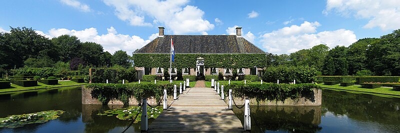
File:110805_Verhildersum_Leens_Gn_NL_(1).jpg · Wikimedia Commons · See Wikimedia Commons
De Marne
Sign in to saveformer municipality of the Netherlands
Key facts
- Country
- Netherlands
- Province
- Groningen
- Established
- 1 January 1990
- Total
- 240.33 km (92.79 sq mi)
- Land
- 168.21 km (64.95 sq mi)
- Water
- 72.12 km (27.85 sq mi)
- Elevation
- 1 m (3.3 ft)
- Time zone
- UTC+1 ( CET )
- Summer dst
- UTC+2 ( CEST )
- Postcode
- 9960–9978
- Area code
- 0519, 0595
- Website
- www .demarne .nl
via Wikipedia infobox
Wikidata facts
- Instance of
- municipality of the Netherlands
- Country
- Netherlands
- Located in
- Groningen
- Population
- 10501
- Area
- 240.33
- Elevation
- 1
- Time zone
- UTC+01:00
- Shares border with
- Zuidhorn
- Official website
- www.demarne.nl
- Image
- 20110805 Verhildersum Leens Gn NL (1).jpg
- Households
- 4674
- Dialing code
- 0595
Show 4 more facts
- contains settlement
- Wehe-den Hoorn
- Commons category
- De Marne
- postal code
- 9960–9978
- topic's main category
- Category:De Marne
Sources (8)
via Wikidata · CC0
~4 min read
Encyclopedic overview
Pinnipeds in the crèche in Pieterburen De Marne ( Dutch pronunciation: [də ˈmɑrnə] ) is a former municipality in the northeast of the Netherlands. On 1 January 2019 it merged with the municipalities of Bedum, Eemsmond and Winsum to form the new municipality Het Hogeland.
Population centres
Excerpted from Wikipedia’s “De Marne” article, available under the CC BY-SA 4.0 licence.