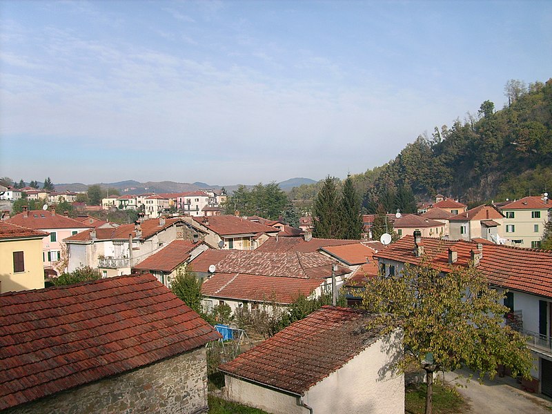
File:Dego-IMG_1075.JPG · Wikimedia Commons · See Wikimedia Commons
AI overview
I don't have enough information from "Italian comune" alone to write an accurate 2-sentence overview of what Dego specifically is and why it matters. To provide an accurate plain-language description, I would need additional context about Dego's location, history, characteristics, or significance.
AI-generated from the Wikipedia summary — may contain errors.
Key facts
- Country
- Italy
- Region
- Liguria
- Province
- Savona (SV)
- Frazioni
- Bormiola, Botta, Brogi, Cà Bulin-Certosa della Trinità, Chiaffoni, Chiesa Brovida, Costalupara, Girini, Governatori, La Costa, Noceto, Niosa, Piano, Porri, Santa Giulia, Sanvarezzo, Saraffi, Supervia
- Mayor
- Franco Siri
- Total
- 67.9 km (26.2 sq mi)
- Elevation
- 317 m (1,040 ft)
- Density
- 28.8/km (74.6/sq mi)
- Demonym
- Deghesi
- Time zone
- UTC+1 ( CET )
- Summer dst
- UTC+2 ( CEST )
- Dialing code
- 019
- Patron saint
- Saint Ambrose
- Saint day
- December 7
- Website
- Official website
via Wikipedia infobox
Wikidata facts
- Instance of
- comune of Italy
- Official name
- Dego
- Demonym
- deghesi
- Country
- Italy
- Located in
- Province of Savona
- Population
- 1831
- Area
- 66.82
- Elevation
- 317
- Time zone
- UTC+02:00
- Shares border with
- Piana Crixia
- Official website
- www.comune.dego.sv.it
- Image
- Dego-IMG 1075.JPG
- Dialing code
- 019
- Licence plate code
- SV
- Patron saint
- Ambrose
Show 2 more facts
- Commons category
- Dego
- postal code
- 17058
Sources (7)
via Wikidata · CC0
~1 min read
Encyclopedic overview
Dego ( Italian pronunciation: [ˈdeːɡo]; Ligurian: O Dê [u ˈdeː]) is a town and comune in the Province of Savona in the region Liguria, in Northwestern Italy.
Geography
Excerpted from Wikipedia’s “Dego” article, available under the CC BY-SA 4.0 licence.