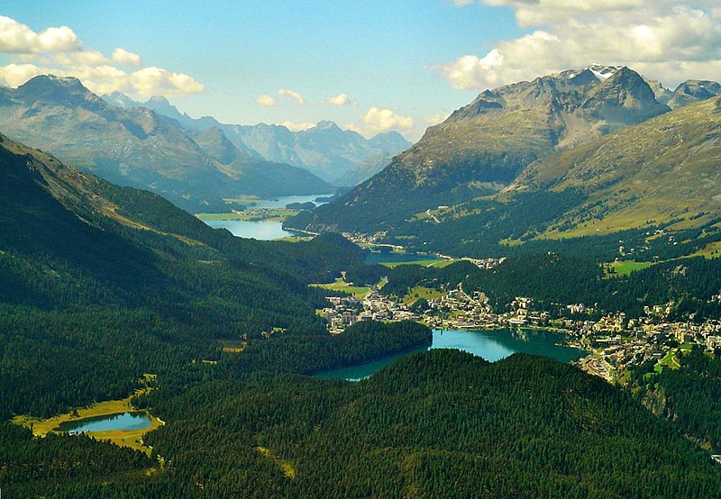
File:Engadine.jpg · Wikimedia Commons · See Wikimedia Commons
Wikidata facts
- Instance of
- valley
- Has part
- Upper Engadine
- Country
- Switzerland
- Located in
- Canton of the Grisons
- Elevation
- 2370
- Body of water
- Inn
- Official website
- www.engadin.stmoritz.ch/winter/de
- Image
- Engadine.jpg
Show 3 more facts
- Commons category
- Engadin
- topic's main category
- Category:Engadin
- Commons gallery
- Engadin
Sources (2)
via Wikidata · CC0
Article · Nederlands
Het Engadin (Reto-Romaans: Engiadina, Italiaans: Engadina, betekenis: Tuin van de Inn) is een van de diepste bergdalen (dat van de rivier de Inn) van de Alpen. Het ligt in het Zwitserse kanton Graubünden en is van begin tot eind ruim 80 km lang. Het is onder te verdelen in Oberengadin en Unterengadin. Het Engadin gaat dalafwaarts over in het Oostenrijkse Oberinntal.
Abstract from DBpedia / Wikipedia · CC BY-SA
Gallery (33)
On the map
3 mapped locations