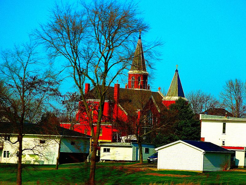
File:St._Joseph's_Catholic_Church_Farley,_IA_-_panoramio.jpg · Wikimedia Commons · See Wikimedia Commons
Key facts
- Country
- United States
- State
- Iowa
- County
- Dubuque
- Incorporated
- June 23, 1879
- City
- 1.62 sq mi (4.19 km )
- Land
- 1.62 sq mi (4.19 km )
- Water
- 0 sq mi (0.00 km )
- Elevation
- 1,112 ft (339 m)
- Density
- 1,091.3/sq mi (421.37/km )
- Metro
- 92,384
- Time zone
- UTC-6 ( CST )
- Summer dst
- UTC-5 ( CDT )
- Fips code
- 19-26760
- Website
- www.farleyiowa.com
via Wikipedia infobox
Wikidata facts
- Instance of
- city in the United States
- Official name
- Farley
- Country
- United States
- Located in
- Dubuque County
- Population
- 1766
- Area
- 4.788903
- Elevation
- 341
- Official website
- www.farleyiowa.com
- Households
- 653
- Dialing code
- 563
Show 6 more facts
- postal code
- 52046
- inception
- 1879-06-23
- P8168
- Rocky
- Commons category
- Farley, Iowa
- water as percent of area
- 0
- per capita income
- 36759
Sources (10)
via Wikidata · CC0
~7 min read
Encyclopedic overview
Main Street, Farley, Iowa, 1898 Farley is a city in Dubuque County, Iowa, United States. It is part of the Dubuque, Iowa Metropolitan Statistical Area. The population was 1,766 at the time of the 2020 census, up from 1,334 in 2000. Farley is the seventh-largest town in Dubuque County, recently passed by Peosta, Iowa.
Farley is home to a 3/8 mile dirt race track, 300 Raceway.
Excerpted from Wikipedia’s “Farley” article, available under the CC BY-SA 4.0 licence.