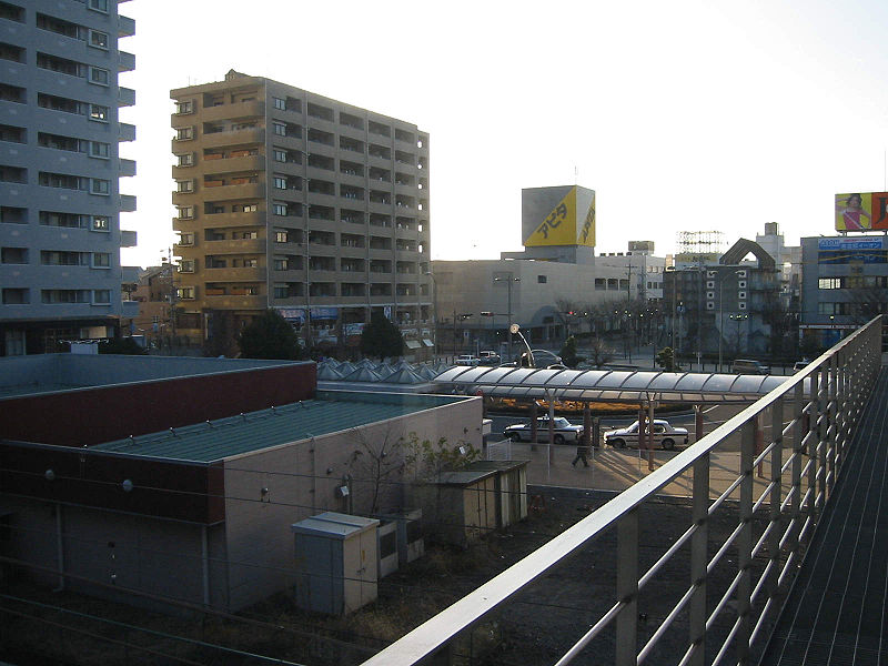
File:Fujieda_Station_South.jpg · Wikimedia Commons · See Wikimedia Commons
Key facts
- Country
- Japan
- Region
- Chūbu ( Tōkai )
- Prefecture
- Shizuoka
- First official recorded
- 318 AD (official)
- Town settled
- April 1, 1889
- City settled
- March 31, 1954
- Mayor
- Shōhei Kitamura (from June 2008)
- Total
- 194.06 km (74.93 sq mi)
- Density
- 747.36/km (1,935.6/sq mi)
- Time zone
- UTC+9 ( Japan Standard Time )
- Tree
- Pine
- Flower
- Wisteria
- Bird
- Japanese bush warbler
- Phone number
- 054-643-3111
- Address
- 1-11-1 Okadeyama, Fujieda-shi, Shizuoka-ken 426-8722
- Website
- Official website
via Wikipedia infobox
Wikidata facts
- Instance of
- commuter town
- Named after
- Wisteria floribunda
- Country
- Japan
- Located in
- Shizuoka Prefecture
- Population
- 142151
- Area
- 194060000
- Time zone
- UTC+09:00
- Capital of
- Tanaka Domain
- Shares border with
- Shimada
- Official website
- www.city.fujieda.shizuoka.jp
- Image
- View of Fujieda city.jpg
Show 11 more facts
- twinned administrative body
- Eniwa
- inception
- 1954-03-31
- native label
- 藤枝市
- name in kana
- ふじえだし
- category of associated people
- Category:People from Fujieda, Shizuoka
- Commons category
- Fujieda, Shizuoka
- category for people born here
- Q20731395
- topic's main category
- Category:Fujieda, Shizuoka
- replaces
- Okabe
- official symbol
- Horornis diphone
- associated electoral district
- Shizuoka 2nd district
Sources (3)
via Wikidata · CC0
~5 min read
Encyclopedic overview
Reconstruction of Tanaka Castle in Fujieda Fujieda City Hall Fujieda (藤枝市, Fujieda-shi) is a city located in Shizuoka Prefecture, Japan. As of 30 April 2019, the city has an estimated population of 145,032 in 59,480 households, and a population density of 750 persons per km. The total area of the city was 194.06 square kilometres (74.93 sq mi). Fujieda is a member of the World Health Organization’s Alliance for Healthy Cities (AFHC).
Geography
Excerpted from Wikipedia’s “Fujieda” article, available under the CC BY-SA 4.0 licence.