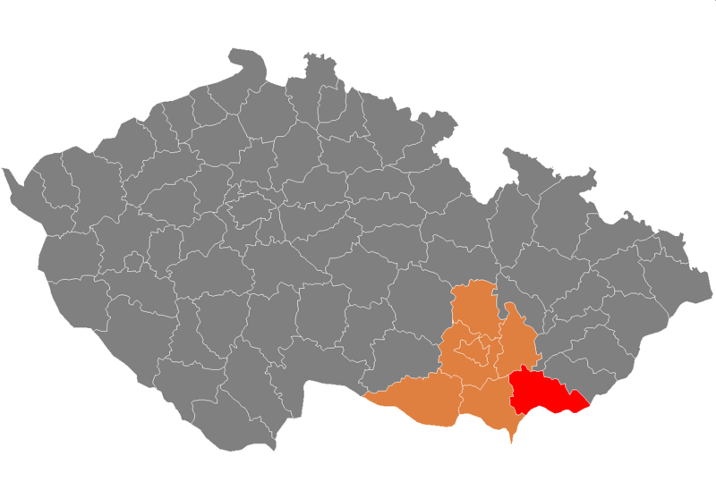
File:Map_CZ_-_district_Hodonin.png · Wikimedia Commons · See Wikimedia Commons
Key facts
- Country
- Czech Republic
- Region
- South Moravian
- Capital
- Hodonín
- Total
- 1,099.00 km (424.33 sq mi)
- Density
- 137.356/km (355.750/sq mi)
- Time zone
- UTC+1 ( CET )
- Summer dst
- UTC+2 ( CEST )
via Wikipedia infobox
Wikidata facts
- Instance of
- district of the Czech Republic
- Country
- Czech Republic
- Capital
- Hodonín
- Population
- 150954
- Area
- 1099.13
- Shares border with
- Nové Mesto nad Váhom District
- Image
- Masarykovo namesti Kyjov 02.jpg
- Licence plate code
- HO
Show 8 more facts
- Commons category
- Hodonín District
- topic's main category
- Category:Hodonín District
- topic has template
- Template:Hodonín District
- mean age
- 44.3
- P6482
- Hodonín District
- number of houses
- 43519
- native label
- Okres Hodonín
via Wikidata · CC0
~4 min read
Encyclopedic overview
Hodonín District (Czech: okres Hodonín) is a district in the South Moravian Region of the Czech Republic. Its capital is the town of Hodonín.
Administrative division
Excerpted from Wikipedia’s “Hodonín District” article, available under the CC BY-SA 4.0 licence.