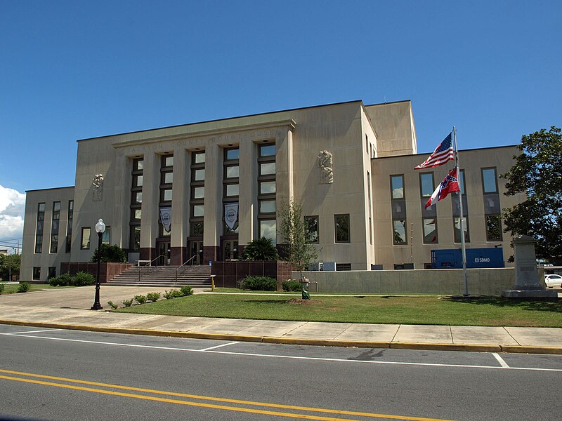
File:Jackson_County_MS_Courthouse_Sept_2012_02.jpg · Wikimedia Commons · See Wikimedia Commons
Jackson County
Sign in to saveAlso known as Jackson County, Mississippi, Jackson County, MS
county in Mississippi, United States
Key facts
- Country
- United States
- State
- Mississippi
- Named after
- Andrew Jackson
- Seat
- Pascagoula
- Largest city
- Pascagoula
- Total
- 1,043 sq mi (2,700 km )
- Land
- 723 sq mi (1,870 km )
- Water
- 321 sq mi (830 km ) 31%
- Estimate 2025
- 147,666
- Density
- 198/sq mi (76.5/km )
- Time zone
- UTC−6 ( Central )
- Summer dst
- UTC−5 ( CDT )
- Congressional district
- 4th
- Website
- www .co .jackson .ms .us
via Wikipedia infobox
Wikidata facts
- Population
- 143252
- Area
- 2702
- Official website
- www.co.jackson.ms.us
- Image
- Jackson County MS Courthouse Sept 2012 02.jpg
- Households
- 53878
Show 5 more facts
- Commons category
- Jackson County, Mississippi
- inception
- 1812-12-18
- water as percent of area
- 31
- native label
- Jackson County
- per capita income
- 28066
Sources (9)
via Wikidata · CC0
~5 min read
Article
Jackson County is a county located in the U.S. state of Mississippi. As of the 2020 census, the population was 143,252, making it the fifth-most populous county in Mississippi. Its county seat is Pascagoula. The county was named for Andrew Jackson, general in the United States Army and afterward President of the United States. Jackson County is included in the Pascagoula, MS Metropolitan Statistical Area. It is located at the southeastern tip of the state. The county has sandy soil and is in the Piney Woods area. It borders the state of Alabama on its east side. The county was severely damaged by both Hurricane Camille in August 1969 and Hurricane Katrina on August 29, 2005, which caused catastrophic effects.
The county bears no relation to the state capital of Jackson, which is a county seat of Hinds County, located 190 miles to the northwest of Jackson County.