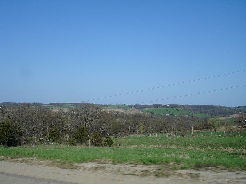
File:Jo_Daviess_County_IL_U.S._20_terrain1.JPG · Wikimedia Commons · See Wikimedia Commons
Jo Daviess County
Sign in to saveAlso known as Jo Daviess County, Illinois, Jo Daviess County, IL
county in Illinois, United States
Key facts
- Country
- United States
- State
- Illinois
- Named after
- Joseph Hamilton Daveiss
- Seat
- Galena
- Largest city
- Galena
- Total
- 619 sq mi (1,600 km )
- Land
- 601 sq mi (1,560 km )
- Water
- 18 sq mi (47 km ) 2.9%
- Estimate 2025
- 21,594
- Density
- 36.7/sq mi (14.2/km )
- Time zone
- UTC−6 ( Central )
- Summer dst
- UTC−5 ( CDT )
- Congressional district
- 16th
- Website
- www .jodaviesscountyil .gov
via Wikipedia infobox
Wikidata facts
- Named after
- Joseph Hamilton Daveiss
- Country
- United States
- Located in
- Illinois
- Capital
- Galena
- Population
- 22035
- Area
- 1602
- Shares border with
- Grant County
- Official website
- www.jodaviess.org
- Image
- Jo Daviess County IL U.S. 20 terrain1.JPG
- Households
- 10069
Show 6 more facts
- water as percent of area
- 2.9
- Commons category
- Jo Daviess County, Illinois
- topic's main category
- Category:Jo Daviess County, Illinois
- native label
- Jo Daviess County
- inception
- 1827-00-00
- per capita income
- 34974
Sources (8)
via Wikidata · CC0
~10 min read
Encyclopedic overview
Jo Daviess County (/ˈdeɪvɪs/) is the northwesternmost county in the U.S. state of Illinois. According to the 2020 census, it had a population of 22,035. Its county seat is Galena. Jo Daviess County is part of the Tri-State Area and is located near Dubuque, Iowa and Platteville, Wisconsin. As part of the Driftless Area, Jo Daviess County contains rugged terrain compared to the rest of the state. Within Jo Daviess County lies Charles Mound, the highest natural point in Illinois, as well as eight of the ten highest points in Illinois.
History
Excerpted from Wikipedia’s “Jo Daviess County” article, available under the CC BY-SA 4.0 licence.