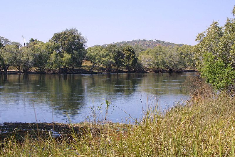
File:Kafue_river02.jpg · Wikimedia Commons · See Wikimedia Commons
Key facts
- Country
- Zambia
- City
- Kitwe , Mazabuka , Kafue Town
- Location
- Zambian border with the Democratic Republic of Congo northwest of Kipushi, North-Western Province , Zambia
- Coordinates
- 11°36′S 27°12′E / 11.600°S 27.200°E / -11.600; 27.200
- Elevation
- 1,350 m (4,430 ft)
- Mouth
- Zambezi
- Length
- 1,576 km (979 mi)
- Basin size
- 155,000 km (60,000 sq mi)
- Average
- 320 m /s (11,000 cu ft/s)
- River system
- Zambezi
via Wikipedia infobox
Wikidata facts
Show 6 more facts
- watershed area
- 154829
- Commons category
- Kafue River
- mouth of the watercourse
- Zambezi River
- discharge
- 314
- drainage basin
- Zambezi Basin
- basin country
- Zambia
Sources (1)
via Wikidata · CC0
~9 min read
Encyclopedic overview
The Kafue River (red) and part of the Zambezi River (blue) Kafue river from the Kafue bridge
The 1,576 kilometres (979 mi) long Kafue River is the longest river lying wholly within Zambia. Its water is used for irrigation and for generating hydroelectric power. It is the largest tributary of the Zambezi, and of Zambia's principal rivers, it is the most central and the most urban. More than 50% of Zambia's population live in the Kafue River Basin and of these around 65% are urban.
Excerpted from Wikipedia’s “Kafue River” article, available under the CC BY-SA 4.0 licence.
Gallery (5)
On the map
2 mapped locations