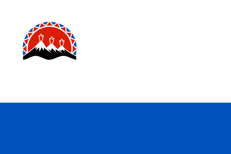
File:Flag_of_Kamchatka_Krai.svg · Wikimedia Commons · See Wikimedia Commons
Kamchatka Krai is a federal region of Russia located in the far eastern part of the country. It is notable for its remote location, volcanic landscape, and natural resources, making it an important but sparsely populated area of the Russian Federation.
AI-generated from the Wikipedia summary — may contain errors.
Wikidata facts
- Instance of
- federal subject of Russia
- Part of
- Far Eastern Federal District
- Country
- Russia
- Located in
- Russia
- Contains
- Tigilsky District
- Continent
- Asia
- Capital
- Petropavlovsk-Kamchatsky
- Official language
- Russian
- Population
- 288947
- Area
- 472300
- Time zone
- UTC+12:00
- Head of government
- Vladimir Solodov
- Anthem
- Anthem of Kamchatka Krai
- Shares border with
- Sakhalin Oblast
- Highest point
- Klyuchevskaya Sopka
- Official website
- kamgov.ru
- Image
- Корякский, Авачинский, Козельский.jpg
- Dialing code
- 415
- Licence plate code
- 41
- Coat of arms
- coat of arms of Kamchatka Krai
Show 12 more facts
- language used
- Alyutor
- Commons category
- Kamchatka Krai
- topic's main category
- Category:Kamchatka Krai
- category for people born here
- Q8056148
- category for people who died here
- Category:Deaths in Kamchatka Krai
- category of associated people
- Category:People from Kamchatka Krai
- inception
- 2007-00-00
- native label
- Камчатский край
- office held by head of government
- Governor of Kamchatka Krai
- different from
- Category:Kamchatka Peninsula
- replaces
- Koryak Autonomous Okrug
- P12749
- Butomaceae
via Wikidata · CC0
~9 min read
Encyclopedic overview
Kamchatka Krai is a federal subject of Russia (a krai), situated in the Russian Far East. It is administratively part of the Far Eastern Federal District. Its administrative center and largest city is Petropavlovsk-Kamchatsky, home to over half of its population of 291,705 (2021 census).
Kamchatka Krai was formed on 1 July 2007, as a result of the merger of Kamchatka Oblast and Koryak Autonomous Okrug, based on the voting in a referendum on the issue on 23 October 2005. The okrug retains the status of a special administrative division of the krai, under the name of Koryak Okrug.
Excerpted from Wikipedia’s “Kamchatka Krai” article, available under the CC BY-SA 4.0 licence.
Gallery (7)
On the map
Available in 106 languages
- Español
- Français
- Deutsch
- 中文
- 日本語
- Русский
- Português
- Italiano
- العربية
- हिन्दी
- Achinese
- Afrikaans
- Asturian
- azb
- Azerbaijani
- Bahasa Indonesia
- Bashkir
- Basque
Show 87 more
- be_x_old
- Belarusian
- Bosnian
- Bulgarian
- Buriat
- Catalan
- cdo
- Cebuano
- Chechen
- Chuvash
- Crimean Tatar
- Croatian
- Czech
- Danish
- Egyptian Arabic
- Erzya
- Esperanto
- Estonian
- Filipino
- Finnish
- Galician
- Georgian
- Greek
- Hebrew
- Hungarian
- Icelandic
- Ido
- Inupiaq
- Irish
- Kara-Kalpak
- Komi
- Komi-Permyak
- Kyrgyz
- Latin
- Latvian
- Ligurian
- Lithuanian
- lld
- Lombard
- Macedonian
- Malay
- Marathi
- Mari
- Mazanderani
- Mingrelian
- Moksha
- Mongolian
- Nederlands
- Nepali
- Northern Frisian
- Norwegian
- Norwegian Nynorsk
- Ossetic
- Pashto
- Polski
- Romanian
- Scots
- Serbian
- Serbian (Latin)
- simple
- Sindhi
- Slovak
- Slovenian
- Svenska
- Swahili
- Talysh
- Tamil
- Tatar
- Tiếng Việt
- Türkçe
- Udmurt
- Ukrainian
- Upper Sorbian
- Urdu
- Uzbek
- Venetian
- Veps
- Waray
- Welsh
- Western Panjabi
- Wu Chinese
- Yakut
- zh_min_nan
- zh_yue
- فارسی
- ไทย
- 한국어
via Wikidata sitelinks · CC0