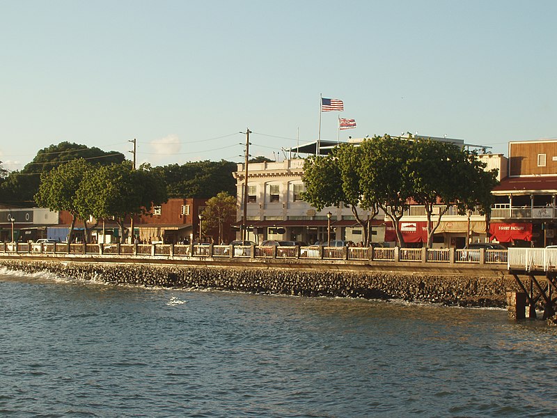
File:Lāhainā_oceanfront.JPG · Wikimedia Commons · See Wikimedia Commons
Lahaina
Sign in to saveAlso known as Lahaina, HI, Malu'ulu'olele, Lāhainā
census designated place in West Maui, Maui County, Hawaii, United States
Key facts
- Country
- United States
- State
- Hawaii
- County
- Maui
- Total
- 9.29 sq mi (24.07 km )
- Land
- 7.78 sq mi (20.15 km )
- Water
- 1.51 sq mi (3.92 km )
- Elevation
- 3.3 ft (1 m)
- Density
- 1,632/sq mi (630.2/km )
- Time zone
- UTC-10 ( Hawaii-Aleutian )
- Zip codes
- 96761, 96767
- Fips code
- 15-42950
- Gnis feature id
- 0361678
via Wikipedia infobox
Wikidata facts
- Official name
- Lahaina
- Country
- United States
- Located in
- Maui County
- Population
- 12702
- Area
- 24.072862
- Elevation
- 1
- Time zone
- Hawaii–Aleutian Time Zone
- Image
- Lāhainā oceanfront.JPG
- Households
- 3618
- Dialing code
- 808
- Significant event
- 2023 Hawaii wildfires
Show 7 more facts
- postal code
- 96767
- Commons category
- Lahaina, Hawaii
- topic's main category
- Category:Lahaina, Hawaii
- located in/on physical feature
- Maui
- water as percent of area
- 16.2597
- per capita income
- 29811
- native label
- Malu'ulu'olele
Sources (7)
via Wikidata · CC0
~22 min read
Encyclopedic overview
Lahaina (/ləˈhaɪnə/; Hawaiian: [ləˈhɐjnə]) or Lāhainā is a census-designated place (CDP) in Maui County, Hawaii, United States. On the northwest coast of the island of Maui, it encompasses Lahaina town and the Kāʻanapali and Kapalua beach resorts. At the 2020 census (before the 2023 wildfire), Lahaina had a resident population of 12,702. The CDP spans the coast along Hawaii Route 30 from a tunnel at the south end, through Olowalu, and to the CDPs of Kaanapali and Napili-Honokowai to the north.
A series of wildfires destroyed approximately 80% of Lahaina in 2023, resulting in the deaths of 102 people.
Excerpted from Wikipedia’s “Lahaina” article, available under the CC BY-SA 4.0 licence.