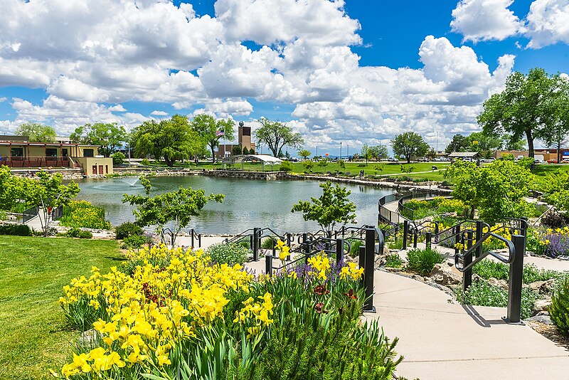
File:Ashley_Pond_Park.jpg · Wikimedia Commons · See Wikimedia Commons
Los Alamos County
Sign in to saveAlso known as Los Alamos County, New Mexico, Los Alamos County, NM
county in New Mexico, United States
Key facts
- Country
- United States
- State
- New Mexico
- Seat
- Los Alamos
- Largest community
- Los Alamos
- Land
- 109 sq mi (280 km )
- Water
- 0.09 sq mi (0.23 km ) 0.08%
- Total
- 19,419
- Estimate 2025
- 19,407
- Density
- 178/sq mi (69/km )
- Time zone
- UTC−7 ( Mountain )
- Summer dst
- UTC−6 ( MDT )
- Congressional district
- 3rd
- Website
- losalamosnm.us
via Wikipedia infobox
Wikidata facts
- Named after
- Los Alamos
- Country
- United States
- Located in
- New Mexico
- Contains
- Los Alamos
- Capital
- Los Alamos
- Population
- 19419
- Area
- 283
- Time zone
- UTC−07:00
- Shares border with
- Santa Fe County
- Official website
- www.losalamosnm.us
- Image
- Ashley Pond.jpg
- Households
- 7895
Show 7 more facts
- Commons category
- Los Alamos County, New Mexico
- topic's main category
- Category:Los Alamos County, New Mexico
- inception
- 1949-00-00
- category of associated people
- Category:People from Los Alamos County, New Mexico
- water as percent of area
- 0.08
- native label
- Los Alamos County
- per capita income
- 60729
Sources (8)
via Wikidata · CC0
~10 min read
Encyclopedic overview
Los Alamos County (English: "The Poplars" or "Cottonwoods"; Spanish: Condado de Los Álamos) is a county in the U.S. state of New Mexico. As of the 2020 census, the population was 19,419. The smallest county by area in the state, Los Alamos County was formed from parts of Sandoval and Santa Fe counties on June 10, 1949. The county has two census-designated places: Los Alamos and White Rock.
The land that eventually became Los Alamos County was administered exclusively by the U.S. federal government during and for a few years after the Manhattan Project.
Excerpted from Wikipedia’s “Los Alamos County” article, available under the CC BY-SA 4.0 licence.