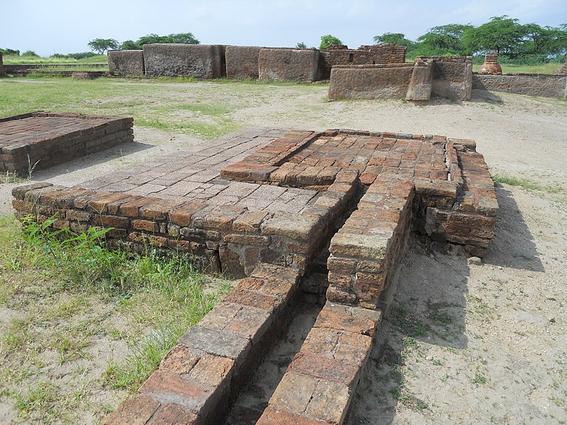
File:The_drainage_system_at_Lothal_2.JPG · Wikimedia Commons · See Wikimedia Commons
Key facts
- Ancient site.name
- lothal
- Ancient site.image
- The drainage system at Lothal 2.JPG
- Ancient site.caption
- Archaeological remains of the drainage system, 2012
- Ancient site.map_type
- India Gujarat#India#South Asia
- Ancient site.relief
- y
- Ancient site.map_size
- 270
- Ancient site.location
- Gujarat, India
- Ancient site.type
- Settlement
- Ancient site.cultures
- Indus Valley Civilization
- Ancient site.discovered
- 1954
- Ancient site.excavations
- 1955–1960
- Ancient site.condition
- Ruined
- Ancient site.ownership
- Public
- Ancient site.management
- Archaeological Survey of India
- Ancient site.public_access
- Yes
via Wikipedia infobox
Wikidata facts
- Instance of
- archaeological site
- Country
- India
- Located in
- Ahmedabad district
- Image
- Archeological Remains at the Lower Town of Lothal.jpg
Show 3 more facts
- inception
- 2400-00-00
- Commons category
- Lothal
- Commons gallery
- Lothal
Sources (2)
via Wikidata · CC0
Article · Italiano
Lothal (in lingua gujarati: લોથલ, monte dei morti) è un sito della Civiltà della valle dell'Indo, che si trova sulla costa del golfo di Cambay, nello stato indiano di Gujarat. Era probabilmente l'avamposto più meridionale della civiltà dell'Indo.
Abstract from DBpedia / Wikipedia · CC BY-SA
Gallery (52)
On the map
3 mapped locations