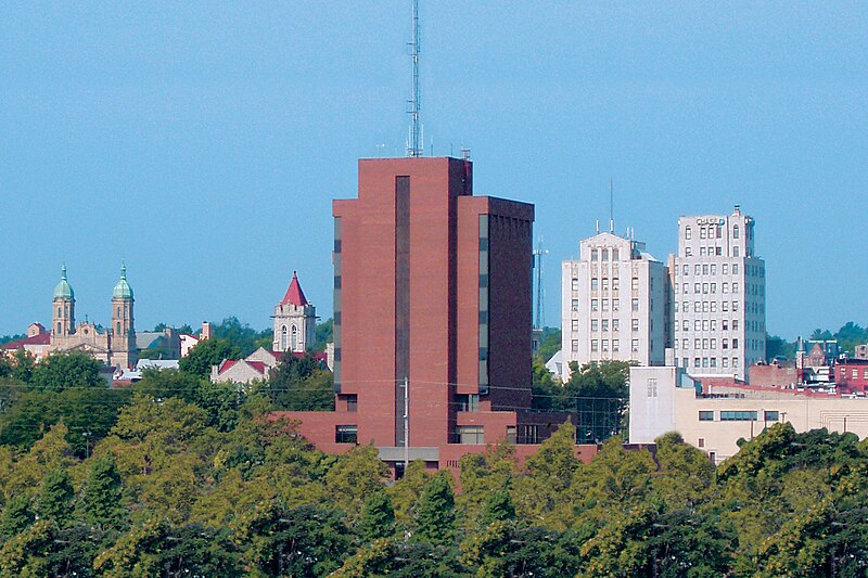
File:Mansfield_skyline.jpg · Wikimedia Commons · See Wikimedia Commons
Mansfield
Sign in to saveAlso known as Mansfield, Ohio, Mansfield, OH
city in and county seat of Richland County, Ohio, United States
Key facts
- Country
- United States
- State
- Ohio
- County
- Richland
- Founded
- June 11, 1808
- Incorporated
- 1828 (village)
- Named after
- Jared Mansfield
- Type
- Mayor–council
- Mayor
- Jodie Perry ( R )
- City
- 30.89 sq mi (80.01 km )
- Land
- 30.83 sq mi (79.86 km )
- Water
- 0.058 sq mi (0.15 km )
- Elevation
- 1,204 ft (367 m)
- Density
- 1,541.6/sq mi (595.23/km )
- Urban
- 75,250 (US: 372nd )
- Metro
- 124,936 (US: 322th )
- Csa
- 219,408 (US: 130th )
- Time zone
- UTC−5 ( EST )
- Summer dst
- UTC−4 ( EDT )
via Wikipedia infobox
Wikidata facts
- Official name
- Mansfield
- Population
- 47534
- Area
- 80.095803
- Elevation
- 378
- Official website
- www.ci.mansfield.oh.us
- Image
- Mansfield skyline.jpg
- Households
- 18580
Show 8 more facts
- Commons category
- Mansfield, Ohio
- Commons gallery
- Mansfield, Ohio
- inception
- 1808-00-00
- postal code
- 44907
- P8168
- Phichit
- water as percent of area
- 0.1705
- per capita income
- 19946
- P12749
- Tatjana Pinto
Sources (12)
via Wikidata · CC0
~40 min read
Article
Mansfield is a city in Richland County, Ohio, United States, and its county seat. The population was 47,534 at the 2020 census. Located approximately halfway between Cleveland and Columbus via Interstate 71, it is part of the Northeast Ohio region in the western foothills of the Allegheny Plateau.
The city was founded in 1808 on a fork of the Mohican River in a hilly region surrounded by fertile farmlands, and became a manufacturing center owing to its location with numerous railroad lines. After the decline of heavy industry, the city's economy has since diversified into a service economy, including retailing, education, and healthcare sectors.
Gallery (12)
On the map
2 mapped locations