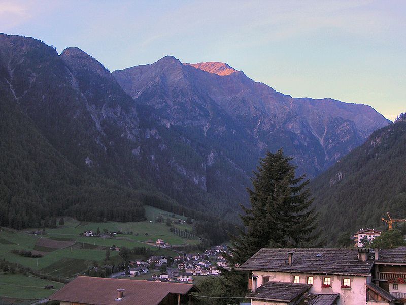
File:Val-Martello.jpg · Wikimedia Commons · See Wikimedia Commons
Key facts
- Country
- Italy
- Region
- Trentino-Alto Adige/Südtirol
- Province
- South Tyrol (BZ)
- Frazioni
- Ennetal (Val d'Enne), Ennewasser (Transacqua), Gand (Ganda), Meiern, Sonnenberg (Montesole)
- Mayor
- Georg Altstätter
- Total
- 143.7 km (55.5 sq mi)
- Elevation
- 1,312 m (4,304 ft)
- Density
- 6.15/km (15.9/sq mi)
- Demonym s
- German: Marteller, Italian: martellesi
- Time zone
- UTC+1 ( CET )
- Summer dst
- UTC+2 ( CEST )
- Dialing code
- 0473
- Website
- Official website
via Wikipedia infobox
Wikidata facts
- Instance of
- comune of Italy
- Official name
- Martello
- Demonym
- martellesi
- Country
- Italy
- Located in
- South Tyrol
- Population
- 831
- Area
- 142.8
- Elevation
- 1312
- Time zone
- UTC+02:00
- Shares border with
- Stilfs
- Official website
- www.gemeinde.martell.bz.it
- Image
- Val-Martello.jpg
- Dialing code
- 0473
- Licence plate code
- BZ
- Patron saint
- Saint Walpurga
Show 4 more facts
- Commons category
- Martell, South Tyrol
- postal code
- 39020
- Commons gallery
- Martell (Südtirol)
- native label
- Martello
Sources (8)
via Wikidata · CC0
~2 min read
Encyclopedic overview
Martell ( German pronunciation: [marˈtɛl]; Italian: Martello [marˈtɛllo]) is a valley and comune (municipality) in South Tyrol in northern Italy. It is located in the Martell Valley of the 28.5-kilometre (17.7 mi) long river Plima, about 45 kilometres (28 mi) west of Bolzano. The commune reaches from an elevation of 957 metres (3,140 ft) up to the 3,757 metres (12,326 ft) of the Zufallspitze (Italian: Monte Cevedale) which towers over the southeastern end of the valley. It was the only comune in Italy without any native speakers of Italian until the 2024 Census.
Geography
Excerpted from Wikipedia’s “Martell” article, available under the CC BY-SA 4.0 licence.