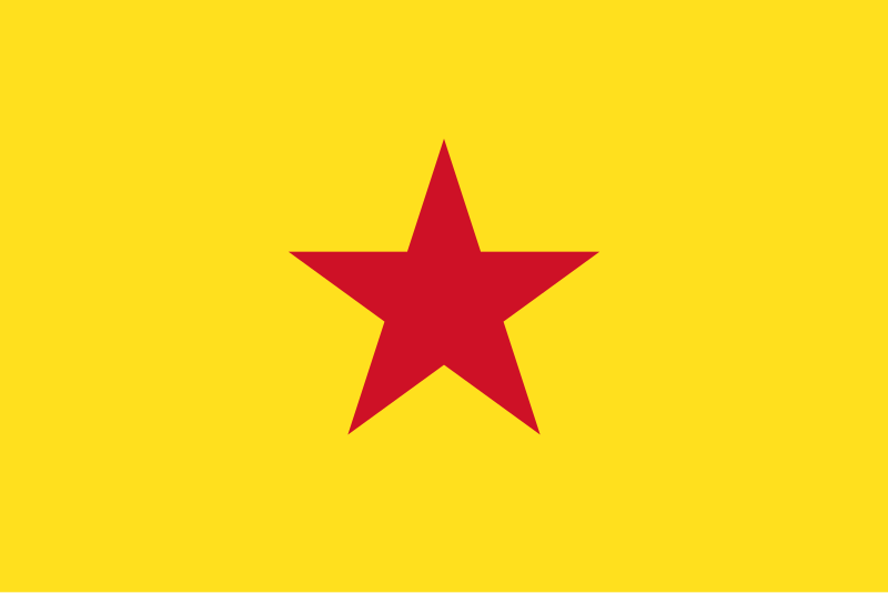
File:Flag_of_Mohéli_(official).svg · Wikimedia Commons · See Wikimedia Commons
Mohéli
Sign in to saveAlso known as Moheli, Mwali
Mohéli , also known as Mwali, is an autonomously-governed island that forms part of the Union of the Comoros. It is the smallest of the three major islands in the country. It is located in the Indian Ocean off the coast of Africa and it is the smallest of the four major Comoro Islands. Its capital and largest city is Fomboni.
Key facts
- Settlement.subdivision_name
- Comoros
- Settlement.seat_type
- Capital
- Settlement.seat
- Fomboni
- Settlement.government_type
- Autonomous Island within a presidential republic
- Settlement.leader_title
- Governor
- Settlement.leader_name
- Chamina Ben Mohamed
- Settlement.area_total_km2
- 211
- Settlement.area_water_percent
- negligible
- Settlement.elevation_m
- 790
- Settlement.population_total
- 35,400
- Settlement.population_as_of
- 2003
- Settlement.population_density_km2
- auto
- Settlement.population_est
- 38,000
- Settlement.pop_est_as_of
- 2006
- Settlement.timezone
- EAT
- Settlement.utc_offset
- +03:00
- Settlement.image_map1
- Mwali in Comoros (claims hatched).svg
- Settlement.map_caption1
- Mohéli in the Comoros
via Wikipedia infobox
Wikidata facts
- Instance of
- volcanic island
- Part of
- Comoros Islands
- Country
- Comoros
- Located in
- Comoros
- Capital
- Fomboni
- Population
- 40000
- Area
- 290
- Elevation
- 790
- Time zone
- UTC+03:00
- Body of water
- Mozambique Channel
- Image
- Mohéli-Beach.jpg
- Flag
- flag of Mohéli
Show 5 more facts
- Commons category
- Mohéli
- topic's main category
- Category:Mohéli
- language used
- Mwali Comorian
- located in/on physical feature
- Comoros Islands
- P12749
- Malton
via Wikidata · CC0
~6 min read
Encyclopedic overview
14 sectionsContents
- History
- Comoros
- Independence
- Rejoining Comoros
- Politics
- Population
- Communities
- Environment
- Protected areas
- Important Bird Area
- Flags
- Airport
- See also
- References
Mohéli , also known as Mwali, is an autonomously-governed island that forms part of the Union of the Comoros. It is the smallest of the three major islands in the country. It is located in the Indian Ocean off the coast of Africa and it is the smallest of the four major Comoro Islands. Its capital and largest city is Fomboni.
== History == thumb|right|Map of Mohéli. right|120px|thumb|Postage stamps were issued for Mohéli briefly under French rule; this two-centime value dates from 1906. Until 1830, Mohéli was part of the Ndzuwani Sultanate, which also controlled the neighbouring island of Anjouan. In 1830, migrants from Madagascar led by Ramanetaka, who later changed his name to Abderemane, took over the island and established the sultanate of Mwali. Its ruler was Queen Jumbe-Souli in the mid-nineteenth century. In 1886, France made the island a protectorate.
Excerpted from Wikipedia’s “Mohéli” article, available under the CC BY-SA 4.0 licence.
Gallery (15)
On the map
3 mapped locations