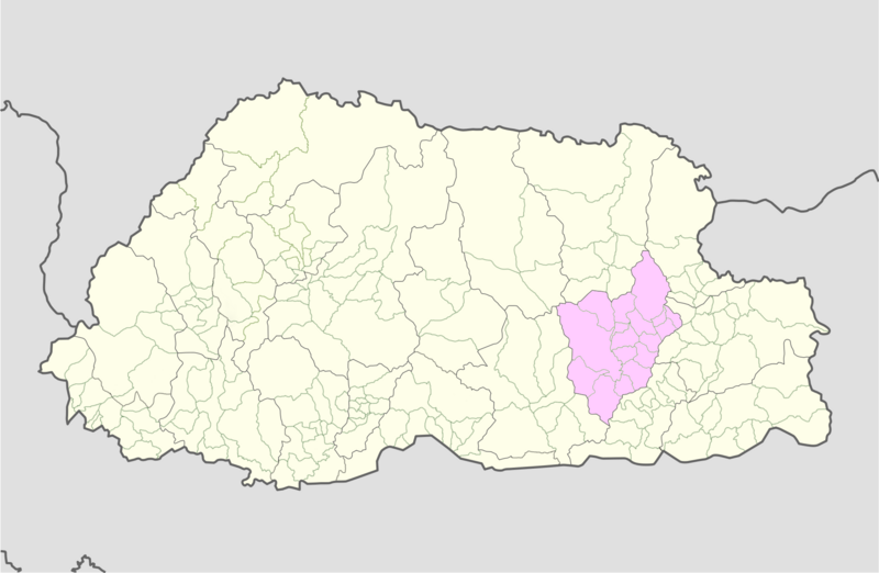
File:Mongar_Bhutan_location_map.png · Wikimedia Commons · See Wikimedia Commons
Key facts
- Country
- Bhutan
- District
- Mongar District
- Total
- 2,859 km (1,104 sq mi)
- Elevation
- 1,600 m (5,200 ft)
- Density
- 12.99/km (33.65/sq mi)
- Time zone
- UTC+6 ( BTT )
- Hdi 2019
- 0.602 , medium · 17th of 20
- Website
- www .mongar .gov .bt
via Wikipedia infobox
Wikidata facts
- Population
- 37150
- Elevation
- 1.6
- Official website
- mongar.gov.bt
- Image
- Samten Chöling, Tsakaling.jpg
Show 5 more facts
- Commons category
- Mongar District
- male population
- 18247
- female population
- 18903
- urban population
- 10297
- rural population
- 26853
via Wikidata · CC0
~3 min read
Article
27°10′N 91°10′E / 27.167°N 91.167°E / 27.167; 91.167
Mongar District (Dzongkha: མོང་སྒར་རྫོང་ཁག།; Wylie: Mong-sgar rdzong-khag) is one of the 20 dzongkhags (districts) comprising Bhutan. Mongar is the fastest-developing dzongkhag in eastern Bhutan. A regional hospital has been constructed and the region is bustling with many economic activities. Mongar is noted for its lemon grass, a plant that can be used to produce an essential oil. It also has a hydroelectric power-plant on the Kuri Chhu river. Mongar is notable for having the longest work time in all the dzongkhags of Bhutan.
Gallery (4)
On the map
Connections
district of Bhutan
Entity
Saling Gewog
Entity
London
City
Bhutan
Country
list of sovereign states
Entity
time zone
Entity
Dallas
Entity
geographic coordinate system
Entity
International Standard Book Number
Entity
Human Development Index
Entity
Dzongkha
Entity
humidity
Entity
hydroelectricity
Entity
UTC+06:00
Entity
Ethnologue
Entity
essential oil
Entity
Cymbopogon
Entity
Tibeto-Burman
Entity
Bumthang District
Entity
Q14793
Entity