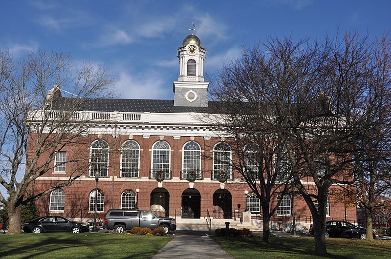
File:NeedhamMA_TownHall.jpg · Wikimedia Commons · See Wikimedia Commons
In the Vinony graph
Vinony's link graph records 795 inbound references to Needham, Massachusetts, and connects out to race and ethnicity in the United States Census, Boston and NBC.
The entry is geolocated on the map.
It is catalogued under topics including 1680 establishments in the Massachusetts Bay Colony, Needham, Massachusetts and Populated places established in 1680.
Vinony links it to 37 Wikipedia language editions.
Key facts
- Country
- United States
- State
- Massachusetts
- County
- Norfolk
- Named after
- Needham Market
- Town manager
- Katie King
- Total
- 12.7 sq mi (32.9 km )
- Land
- 12.6 sq mi (32.7 km )
- Water
- 0.077 sq mi (0.2 km )
- Elevation
- 161 ft (49 m)
- Density
- 2,542/sq mi (981.4/km )
- Time zone
- UTC−5 ( Eastern )
- Summer dst
- UTC−4 ( Eastern )
- Zip codes
- 02492 (Needham) 02494 ( Needham Heights )
- Fips code
- 25-44105
- Gnis feature id
- 0618325
- Website
- needhamma .gov
via Wikipedia infobox
Wikidata facts
- Instance of
- New England town
- Official name
- Needham
- Country
- United States
- Located in
- Norfolk County
- Population
- 32091
- Area
- 12.7
- Elevation
- 49
- Time zone
- Eastern Time Zone
- Shares border with
- Boston
- Official website
- www.needhamma.gov
- Image
- NeedhamMA TownHall.jpg
- Households
- 10765
Show 8 more facts
- Commons category
- Needham, Massachusetts
- topic's main category
- Category:Needham, Massachusetts
- inception
- 1680-01-01
- different from
- Needham
- category of associated people
- Category:People from Needham, Massachusetts
- category for people born here
- Category:Births in Needham, Massachusetts
- per capita income
- 80532
- postal code
- 02492
Sources (10)
via Wikidata · CC0