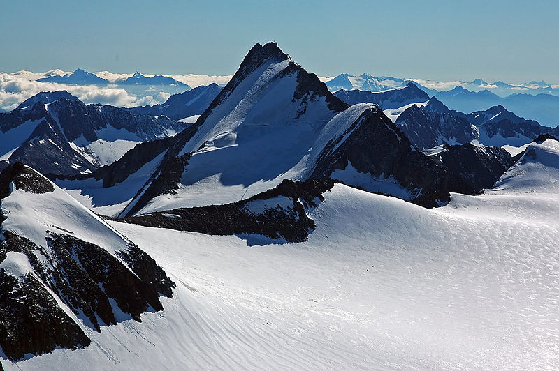
File:Hintere_Schwaerze.jpg · Wikimedia Commons · See Wikimedia Commons
Ötztal Alps
Sign in to saveAlso known as Oetztaler Alps, Otztal Alps, Oetztal Alps, Ötztaler Alpen, Otztal Alpen, Ötztal Alpen, Otztaler Alps, Otztaler Alpen
mountain range in the Central Eastern Alps
Key facts
- Peak
- Wildspitze
- Elevation
- 3,774 m (12,382 ft)
- Coordinates
- 46°53′49″N 10°52′31″E / 46.89694°N 10.87528°E / 46.89694; 10.87528
- Countries
- Austria Italy
- Parent range
- Central Eastern Alps
- Borders on
- Stubai Alps
via Wikipedia infobox
Wikidata facts
- Instance of
- mountain range
- Country
- Italy
- Located in
- South Tyrol
- Elevation
- 3774
- Shares border with
- Lechtal Alps
- Highest point
- Wildspitze
- Material used
- metamorphic rock
- Image
- Hintereisferner von Im hinteren Eis.jpg
Show 4 more facts
- topic's main category
- Category:Ötztal Alps
- mountain range
- Eastern Rhaetian Alps
- has boundary
- Stubai Alps
- Commons category
- Ötztal Alps
Sources (3)
via Wikidata · CC0
~2 min read
Encyclopedic overview
The Ötztal Alps (Italian: Alpi Venoste, German: Ötztaler Alpen) are a mountain range in the Central Eastern Alps, in the State of Tyrol in western Austria and the Province of South Tyrol in northern Italy.
Geography
Excerpted from Wikipedia’s “Ötztal Alps” article, available under the CC BY-SA 4.0 licence.
Gallery (5)
On the map
2 mapped locations