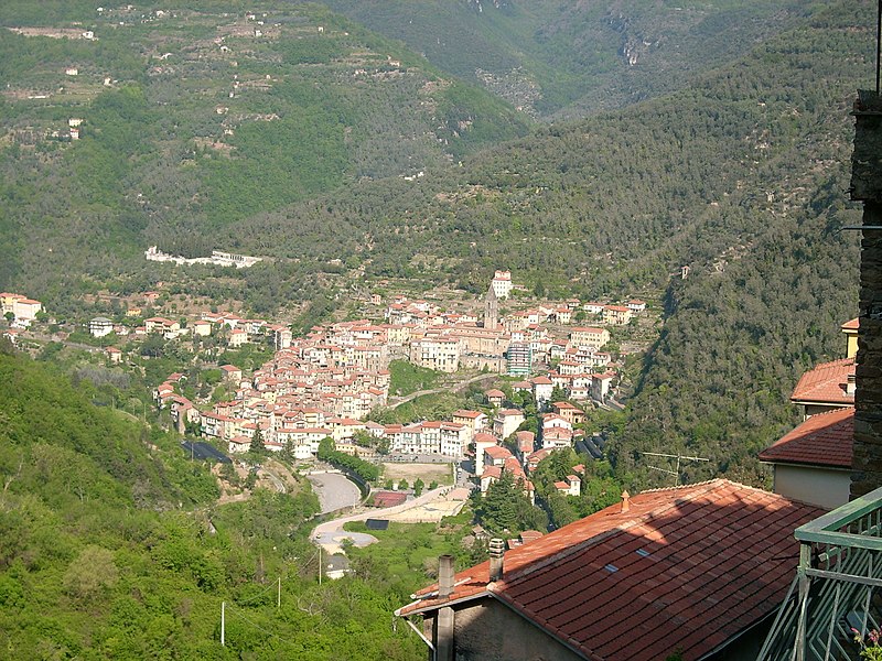
File:Pigna_(IM)-IMG_0196.JPG · Wikimedia Commons · See Wikimedia Commons
Key facts
- Country
- Italy
- Region
- Liguria
- Province
- Province of Imperia (IM)
- Frazioni
- Buggio
- Total
- 53.7 km (20.7 sq mi)
- Elevation
- 280 m (920 ft)
- Density
- 14.8/km (38.3/sq mi)
- Demonym
- Pignaschi
- Time zone
- UTC+1 ( CET )
- Summer dst
- UTC+2 ( CEST )
- Dialing code
- 0184
via Wikipedia infobox
Official website
Comune di Pigna - Home Page
comune.pigna.im.it →Link to the official site · 15,314 chars · not written by Vinony
Wikidata facts
- Instance of
- comune of Italy
- Official name
- Pigna
- Country
- Italy
- Located in
- Province of Imperia
- Population
- 752
- Area
- 53.23
- Elevation
- 280
- Time zone
- UTC+02:00
- Shares border with
- Saorge
- Official website
- www.comune.pigna.im.it
- Image
- Pigna veduta.jpg
- Dialing code
- 0184
- Licence plate code
- IM
- Patron saint
- Archangel Michael
Show 4 more facts
- postal code
- 18037
- Commons category
- Pigna (comune, Italy)
- Commons gallery
- Pigna (comune, Italy)
- has certification
- Bandiera arancione
Sources (7)
via Wikidata · CC0
~3 min read
Encyclopedic overview
Pigna is a comune (municipality) in the Province of Imperia in the Italian region of Liguria, located about 110 kilometres (68 mi) southwest of Genoa and about 30 kilometres (19 mi) west of Imperia, on the border with France. In 2024, it has an evaluated population of 741 and an area of 53.7 square kilometres (20.7 mi).
The municipality of Pigna contains the frazione (subdivision) Buggio [it].
Excerpted from Wikipedia’s “Pigna” article, available under the CC BY-SA 4.0 licence.