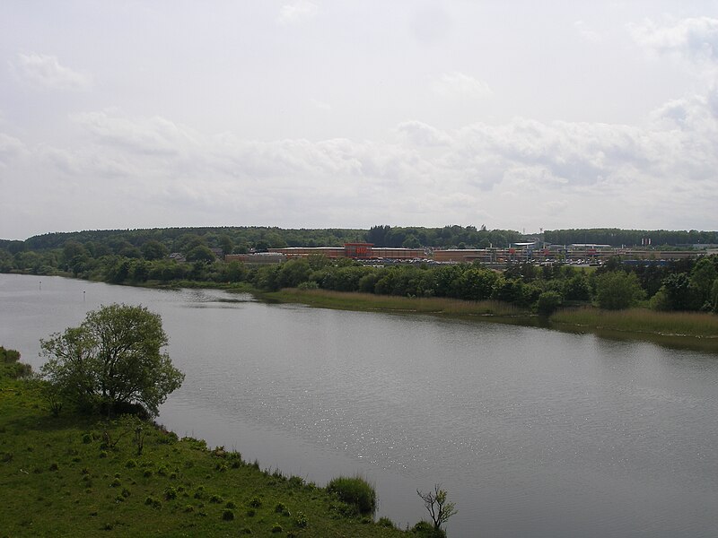
File:River_Bann_at_Coleraine.JPG · Wikimedia Commons · See Wikimedia Commons
Key facts
- Native name
- An Bhanna ( Irish )
- Sovereign state
- United Kingdom
- Constituent country
- Northern Ireland
- Location
- Slieve Muck , County Down
- Length
- 129 km (80 mi)
- Basin size
- 5,775 km (2,230 sq mi)
- Average
- 92 m /s (3,200 cu ft/s)
- Left
- Ulster Blackwater Clady River , Agivey River , Rhee River, Articlave River
- Right
- Ballymoney River
via Wikipedia infobox
Wikidata facts
- Instance of
- river
- Country
- United Kingdom
- Located in
- Northern Ireland
- Image
- Bann in Coleraine.jpg
- Length
- 137
Show 6 more facts
- Commons category
- River Bann
- mouth of the watercourse
- North Channel
- tributary
- River Blackwater
- lake on watercourse
- Lough Neagh
- historic county
- County Londonderry
- native label
- An Bhanna
Sources (2)
via Wikidata · CC0
~15 min read
Encyclopedic overview
The River Bann (from Irish: An Bhanna, meaning "the goddess"; Ulster-Scots: Bann Wattèr) is the longest river in Northern Ireland, its length, Upper and Lower Bann combined, being 129 km (80 mi). The total length of the River Bann, including its path through the 30 km (19 mi) long Lough Neagh is 159 km (99 mi). Another length of the River Bann given is 90 mi. The river winds its way from the southeast corner of Ulster to the northwest coast, pausing in the middle to widen into Lough Neagh. The River Bann catchment has an area of 5,775 km. The River Bann has a mean discharge rate of 92 m/s. According to C. Michael Hogan, the Bann River Valley is a settlement area for some of the first human arrivals in Ireland after the most recent glacial retreat.
Stewart Gordons 1844 Coleraine Bridge at low tide
Excerpted from Wikipedia’s “River Bann” article, available under the CC BY-SA 4.0 licence.
Gallery (12)
On the map
3 mapped locations