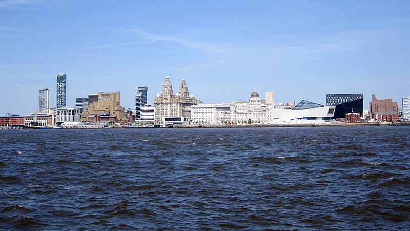
File:Liverpool_skyline_from_the_Mersey_Ferry_-_2012-05-27.JPG · Wikimedia Commons · See Wikimedia Commons
The River Mersey is a river located in England that flows through the northwest of the country. It is historically and economically significant as it has played an important role in the development of major cities and industrial areas in the region.
AI-generated from the Wikipedia summary — may contain errors.
Key facts
- Country
- England
- Counties
- Greater Manchester , Cheshire , Merseyside , Lancashire (Historic)
- Cities
- Liverpool , Manchester
- Source
- (source of the River Tame )
- Location
- west of Buckstones Moss, West Yorkshire
- Coordinates
- 53°37′07″N 2°00′13″W / 53.6187°N 2.0035°W / 53.6187; -2.0035
- Elevation
- 1,552 ft (473 m)
- 2nd source
- (confluence of Tame and Goyt )
- Length
- 69 mi (111 km)
- Basin size
- 1,810 sq mi (4,680 km )
- Official name
- Mersey Estuary
- Designated
- 20 December 1995
via Wikipedia infobox
Wikidata facts
- Instance of
- main stem
- Country
- United Kingdom
- Located in
- Greater Manchester
- Continent
- Europe
- Image
- Runcorn Bridges 3.jpg
- Length
- 112
Show 7 more facts
- tributary
- River Bollin
- Commons category
- River Mersey
- topic's main category
- Category:River Mersey
- watershed area
- 4680
- mouth of the watercourse
- Irish Sea
- described by source
- Pauly–Wissowa
- native label
- River Mersey
Sources (1)
via Wikidata · CC0
~24 min read
Encyclopedic overview
The River Mersey (/ˈmɜːrzi/) is a major river in North West England. Its name derives from Old English and means "boundary river", possibly referring to its having been a border between the ancient kingdoms of Mercia and Northumbria. For centuries it has formed part of the boundary between the historic counties of Lancashire and Cheshire.
The Mersey is currently regarded as starting at the confluence of the River Tame and River Goyt in the centre of Stockport. However, older definitions, and many older maps, place its start at the confluence of the Etherow and Goyt, near Marple, about 4 miles (6.4 km) further upstream.
Excerpted from Wikipedia’s “River Mersey” article, available under the CC BY-SA 4.0 licence.
Gallery (9)
On the map
2 mapped locations