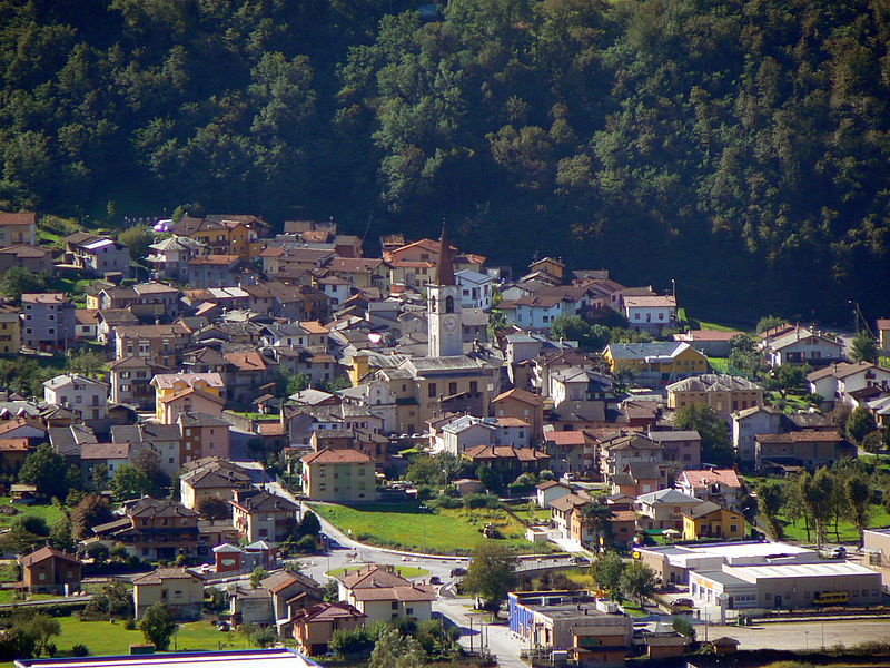
File:Abitato_di_Rogolo_002.JPG · Wikimedia Commons · See Wikimedia Commons
Rogolo
Sign in to saveRogolo () is a (municipality) in the Province of Sondrio in the Italian region of Lombardy, located about northeast of Milan and about west of Sondrio. As of 31 December 2004, it had a population of 568 and an area of . Rogolo borders the following municipalities: Andalo Valtellino, Cosio Valtellino, Delebio, Mantello, Pedesina, Premana, Rasura.
In the Vinony graph
Vinony's link graph records 84 inbound references to Rogolo, and connects out to Italy, Milan and time zone.
The entry is geolocated on the map in city(508)_region, across 2 mapped points.
It sits within the topics Cities and towns in Lombardy and Municipalities of the Province of Sondrio.
Vinony links it to 51 Wikipedia language editions.
Key facts
- Italian comune.name
- Rogolo
- Italian comune.official_name
- Comune di Rogolo
- Italian comune.image_skyline
- Abitato di Rogolo 002.JPG
- Italian comune.image_caption
- Rogolo skyline
- Italian comune.image_shield
- Rogolo-Stemma.png
- Italian comune.region
- Lombardy
- Italian comune.province
- Province of Sondrio (SO)
- Italian comune.mayor
- Matteo Ferré
- Italian comune.area_total_km2
- 13.0
- Italian comune.population_total
- 564
- Italian comune.population_as_of
- 2011
- Italian comune.postal_code
- 23010
- Italian comune.area_code
- 0342
via Wikipedia infobox
Wikidata facts
- Instance of
- comune of Italy
- Official name
- Rogolo
- Country
- Italy
- Located in
- Province of Sondrio
- Population
- 573
- Area
- 12.83
- Elevation
- 216
- Time zone
- UTC+02:00
- Shares border with
- Rasura
- Official website
- www.comune.rogolo.so.it
- Image
- Abitato di Rogolo 002.JPG
- Dialing code
- 0342
- Licence plate code
- SO
Show 3 more facts
- Commons category
- Rogolo
- postal code
- 23010
- significant place
- Sentiero del Viandante
via Wikidata · CC0
Gallery (2)
On the map
2 mapped locations