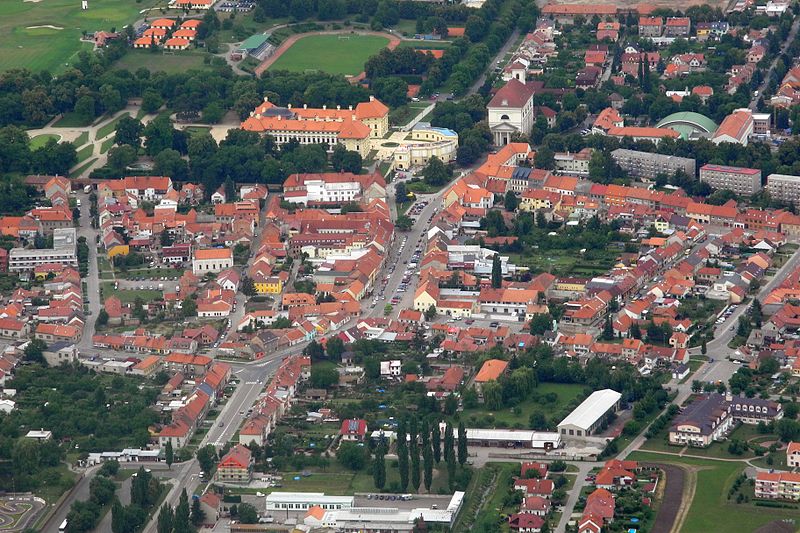
File:DSCN0979_(5864465448).jpg · Wikimedia Commons · See Wikimedia Commons
Slavkov u Brna
Sign in to savetown in the Czech Republic
Key facts
- Country
- Czech Republic
- Region
- South Moravian
- District
- Vyškov
- Mayor
- Michal Boudný
- Total
- 14.95 km (5.77 sq mi)
- Elevation
- 211 m (692 ft)
- Density
- 485.5/km (1,257/sq mi)
- Time zone
- UTC+1 ( CET )
- Summer dst
- UTC+2 ( CEST )
- Postal code
- 684 01
- Website
- www .slavkov .cz
via Wikipedia infobox
Official website

Link to the official site · 7,932 chars · not written by Vinony
Wikidata facts
- Official name
- Slavkov u Brna
- Country
- Czech Republic
- Population
- 7258
- Area
- 14.946447
- Elevation
- 211
- Shares border with
- Hodějice
- Official website
- www.slavkov.cz
- Image
- DSCN0979 (5864465448).jpg
- Licence plate code
- B
Show 14 more facts
- category of associated people
- Category:People from Slavkov u Brna
- Commons category
- Slavkov u Brna
- twinned administrative body
- Darney
- postal code
- 684 01
- category for people born here
- Category:Births in Slavkov u Brna
- topic's main category
- Category:Slavkov u Brna
- time of earliest written record
- 1237-01-17
- email address
- mailto:[email protected]
- P6482
- Slavkov u Brna
- historical region
- Moravia
- native label
- Slavkov u Brna
- number of houses
- 1578
- mean age
- 40.9
- web feed URL
- www.slavkov.cz/feed
Sources (13)
via Wikidata · CC0
~6 min read
Encyclopedic overview
Slavkov u Brna ( Czech pronunciation: [ˈslafkof ˈu br̩na]; German: Austerlitz) is a town in Vyškov District in the South Moravian Region of the Czech Republic. It has about 7,300 inhabitants. The town gave its name to the Battle of Austerlitz, which took place several kilometres west. The historic town centre is well preserved and is protected as an urban monument zone.
Etymology
Excerpted from Wikipedia’s “Slavkov u Brna” article, available under the CC BY-SA 4.0 licence.