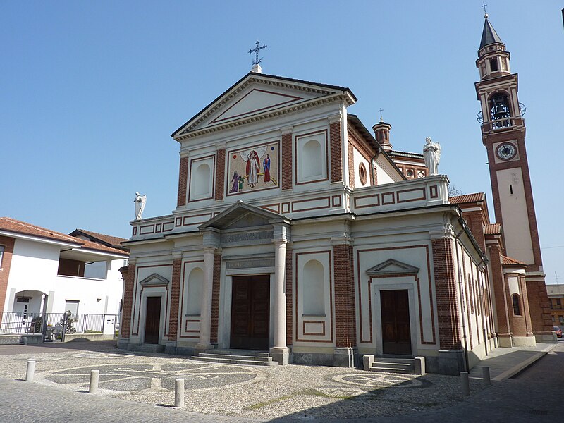
File:Solaro_Chiesa.JPG · Wikimedia Commons · See Wikimedia Commons
Key facts
- Country
- Italy
- Region
- Lombardy
- Metropolitan city
- Milan (MI)
- Mayor
- Diego Manenti
- Total
- 6.7 km (2.6 sq mi)
- Elevation
- 211 m (692 ft)
- Density
- 2,100/km (5,500/sq mi)
- Demonym
- Solaresi
- Time zone
- UTC+1 ( CET )
- Summer dst
- UTC+2 ( CEST )
- Dialing code
- 02
- Website
- Official website
via Wikipedia infobox
Official website
Link to the official site · 10,184 chars · not written by Vinony
Wikidata facts
- Instance of
- comune of Italy
- Official name
- Solaro
- Demonym
- solaresi
- Country
- Italy
- Located in
- Metropolitan City of Milan
- Population
- 13854
- Area
- 6.68
- Elevation
- 211
- Time zone
- UTC+02:00
- Shares border with
- Bovisio-Masciago
- Official website
- www.comune.solaro.mi.it
- Image
- Solaro Chiesa.JPG
- Dialing code
- 02
- Licence plate code
- MI
Show 2 more facts
- postal code
- 20020
- Commons category
- Solaro (Italy)
via Wikidata · CC0
~1 min read
Encyclopedic overview
Solaro ( Italian: [soˈlaːro]; Milanese: Soree [suˈreː]) is a comune (municipality) in the Metropolitan City of Milan in the Italian region Lombardy, located about 15 kilometres (9 mi) northwest of Milan. It has a population of about 14.000.
Solaro borders the following municipalities: Saronno, Ceriano Laghetto, Bovisio-Masciago, Limbiate, Caronno Pertusella, Cesate.
Excerpted from Wikipedia’s “Solaro” article, available under the CC BY-SA 4.0 licence.