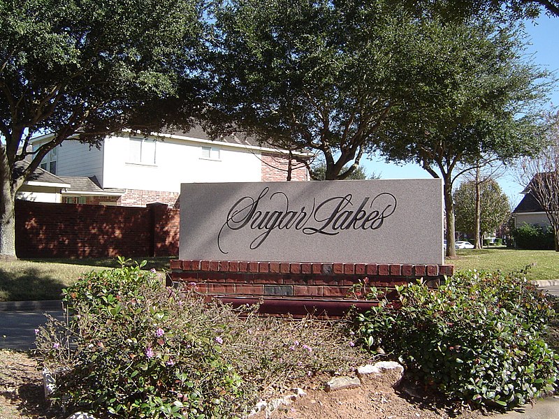
File:SugarLakes.JPG · Wikimedia Commons · See Wikimedia Commons
Sugar Land
Sign in to saveAlso known as Sugar Land, Texas, Sugar Land, TX, Sugarland
city in Fort Bend County, Texas, United States
Key facts
- Country
- United States
- State
- Texas
- County
- Fort Bend
- Type
- Council-Manager
- City council
- Mayor Carol McCutcheon Jim Vonderhaar Rob Boettcher Suzanne Whatley Sanjay Singhal Stewart Jacobson Rick Miller
- City manager
- Mike Goodrum
- Total
- 42.90 sq mi (111.12 km )
- Land
- 40.47 sq mi (104.81 km )
- Water
- 2.44 sq mi (6.31 km )
- Elevation
- 100 ft (30 m)
- Density
- 2,928.0/sq mi (1,130.49/km )
- Time zone
- UTC−6 ( Central (CST) )
- Summer dst
- UTC−5 (CDT)
- Zip codes
- 77478–79, 77487, 77496, and 77498
- Area codes
- 281, 346, 621, 713, 832
- Sales tax
- 8.25%
- Website
- www .sugarlandtx .gov
via Wikipedia infobox
Wikidata facts
- Instance of
- city in the United States
- Official name
- Sugar Land
- Country
- United States
- Located in
- Fort Bend County
- Population
- 111026
- Area
- 88.106371
- Elevation
- 30
- Time zone
- Central Time Zone
- Shares border with
- Meadows Place
- Official website
- www.sugarlandtx.gov
- Image
- Sugarland Town Square.jpg
- Households
- 38852
- Dialing code
- 346
Show 9 more facts
- Commons category
- Sugar Land, Texas
- topic's main category
- Category:Sugar Land, Texas
- category of associated people
- Category:People from Sugar Land, Texas
- postal code
- 77498
- inception
- 1908-01-01
- P8168
- Guillaume Rufin
- water as percent of area
- 4.8193
- located in the statistical territorial entity
- Greater Houston
- per capita income
- 52929
Sources (10)
via Wikidata · CC0
~40 min read
Encyclopedic overview
Sugar Land is the largest city in Fort Bend County, Texas, United States, located in the southwestern part of the Houston–The Woodlands–Sugar Land metropolitan area. Located about 19 miles (31 km) southwest of downtown Houston, Sugar Land is a populous suburban municipality centered around the junction of Texas State Highway 6 and Interstate 69/U.S. Route 59.
Beginning in the 19th century, the present-day Sugar Land area was home to a large sugar plantation situated in the fertile floodplain of the Brazos River. Following the consolidation of local plantations into Imperial Sugar Company in 1908, Sugar Land grew steadily as a company town and incorporated as a city in 1959. Since then, Sugar Land has grown rapidly alongside other edge cities around Houston, with large-scale development of master-planned communities contributing to population swells since the 1980s.
Excerpted from Wikipedia’s “Sugar Land” article, available under the CC BY-SA 4.0 licence.