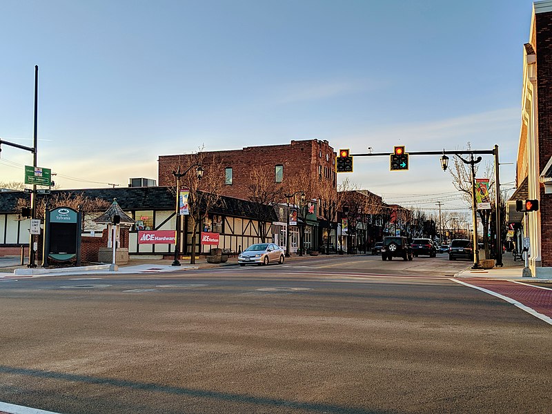
File:Main_Street,_Downtown_Sylvania,_Ohio.jpg · Wikimedia Commons · See Wikimedia Commons
Sylvania
Sign in to saveAlso known as Sylvania, Ohio, Sylvania, OH
city in Lucas County, Ohio, United States
Key facts
- Country
- United States
- State
- Ohio
- County
- Lucas
- Mayor
- Mark Frye ( R )
- Total
- 6.72 sq mi (17.40 km )
- Land
- 6.66 sq mi (17.26 km )
- Water
- 0.054 sq mi (0.14 km )
- Elevation
- 646 ft (197 m)
- Density
- 2,852.3/sq mi (1,101.26/km )
- Time zone
- UTC-5 ( Eastern (EST) )
- Summer dst
- UTC-4 (EDT)
- Area code
- 419 567
- Fips code
- 39-76022
- Website
- www .cityofsylvania .com
via Wikipedia infobox
Wikidata facts
- Instance of
- city in the United States
- Official name
- Sylvania
- Country
- United States
- Located in
- Lucas County
- Population
- 19011
- Area
- 16.892894
- Elevation
- 202
- Official website
- www.cityofsylvania.com
- Image
- Sylvania city hall.jpg
- Households
- 7710
- Dialing code
- 419
Show 6 more facts
- postal code
- 43560
- Commons category
- Sylvania, Ohio
- inception
- 1833-01-01
- P8168
- Pauline Parmentier
- water as percent of area
- 0.6879
- per capita income
- 41037
Sources (9)
via Wikidata · CC0
~15 min read
Encyclopedic overview
Sylvania is a city in Lucas County, Ohio, United States. The population was 19,011 at the 2020 census. Sylvania is a suburb of Toledo, and encompassed by Sylvania Township. Its northern border is the southern border of the state of Michigan.
The name "Sylvania" is borrowed from the Latin sylvan or sylva, meaning "forest land", owing to the dense forests that once made up the region, part of the Great Black Swamp.
Excerpted from Wikipedia’s “Sylvania” article, available under the CC BY-SA 4.0 licence.