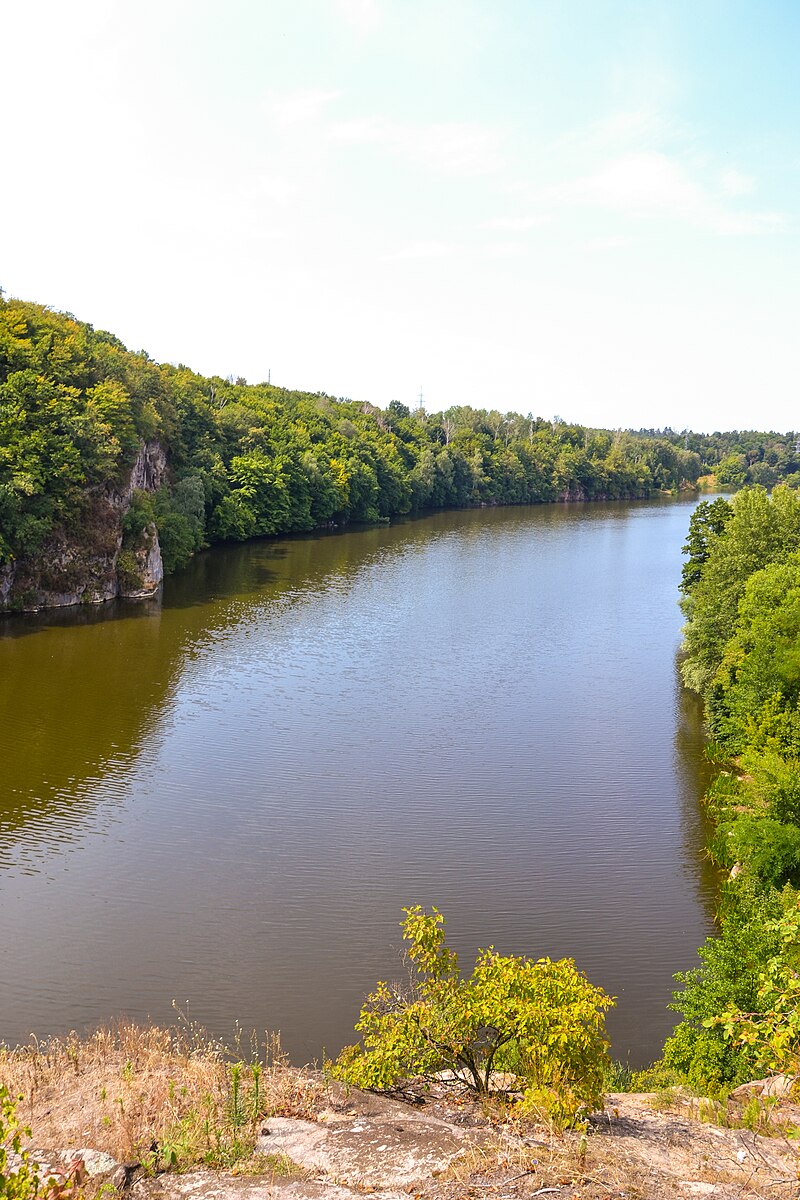
File:Тетерів_з_голови_Чацького.jpg · Wikimedia Commons · See Wikimedia Commons
Teteriv
Sign in to saveAlso known as Teterev
The Teteriv () is a right tributary of the Dnieper River in Ukraine. It has a length of and a drainage basin of .
Key facts
- River.name
- Teteriv
- River.image
- Тетерів з голови Чацького.jpg
- River.image_caption
- Teteriv River near Zhytomyr
- River.mapframe
- yes
- River.mapframe zoom
- 7
- River.source1_location
- Zhytomyr Oblast
- River.mouth
- Dnieper
- River.mouth_location
- Kyiv Reservoir
- River.subdivision_type1
- Country
- River.subdivision_name1
- Ukraine
- River.discharge1_avg
- 18,4 m³/s
via Wikipedia infobox
Wikidata facts
- Image
- Teteriv-river-1905.jpg
- Length
- 385
Show 5 more facts
- Commons gallery
- Teteriv (river)
- Commons category
- Teteriv (river)
- watershed area
- 15300
- discharge
- 18.4
- slope
- 0.50
Sources (1)
via Wikidata · CC0
~3 min read
Article
3 sectionsContents
- Tributaries
- Gallery
- References
The Teteriv () is a right tributary of the Dnieper River in Ukraine. It has a length of and a drainage basin of .
The Teteriv flows generally in northeastern direction through geographic regions of Podolian Upland, Dnieper Upland, and Polesia. The river starts near a populated place of Nosivky (previously Nosivka) near administrative border with Vinnytsia Oblast at over the sea level. Flowing through Podolian Upland in some areas it has characteristics of mountainous stream. In the underflow the valley of the Teteriv in Polissia on up to , the width of the river widens up to 40-90 meter, before it flows into the Dnieper. The midstream of Teteriv from Zhytomyr to Radomyshl has predominantly rocky banks. Few kilometers east of Radomyshl turns into fully flatland river within Kyiv Oblast. Further east of Ivankiv turns into a swampy wetland. The river drains into the Dnieper in the Kyiv Reservoir just south of the Prypiat river estuary and the Chernobyl exclusion zone.
Gallery (4)
On the map
2 mapped locations