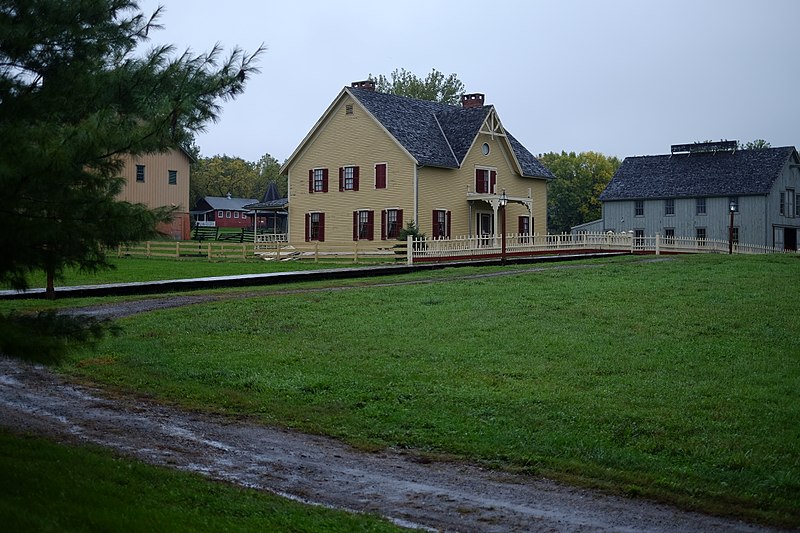
File:Living_History_Farms_01.jpg · Wikimedia Commons · See Wikimedia Commons
Urbandale
Sign in to saveAlso known as Urbandale, Iowa, Urbandale, IA
city in Polk and Dallas counties, Iowa, United States
Key facts
- Country
- United States
- State
- Iowa
- Counties
- Polk , Dallas
- Townships
- Webster (Polk County) , Walnut (Dallas County)
- Incorporated
- April 16, 1917
- Type
- Council-manager government
- Total
- 22.55 sq mi (58.41 km )
- Land
- 22.53 sq mi (58.35 km )
- Water
- 0.023 sq mi (0.06 km )
- Elevation
- 981 ft (299 m)
- Rank
- 12th in Iowa
- Density
- 2,023.3/sq mi (781.19/km )
- Time zone
- UTC−6 ( Central (CST) )
- Summer dst
- UTC−5 (CDT)
- Zip codes
- 50322, 50323, 50325, 50111, 50131, 50263
- Fips code
- 19-79950
- Website
- www .urbandale .org
via Wikipedia infobox
Wikidata facts
- Instance of
- city in the United States
- Official name
- Urbandale
- Country
- United States
- Located in
- Polk County
- Population
- 45580
- Area
- 56.833812
- Elevation
- 288
- Time zone
- Central Time Zone
- Official website
- www.urbandale.org
- Image
- Living History Farms 01.jpg
- Households
- 16614
- Dialing code
- 515
Show 7 more facts
- postal code
- 50323
- Commons category
- Urbandale, Iowa
- topic's main category
- Category:Urbandale, Iowa
- inception
- 1917-04-16
- water as percent of area
- 0.1074
- per capita income
- 44328
- category of associated people
- Category:People from Urbandale, Iowa
Sources (9)
via Wikidata · CC0
~14 min read
Encyclopedic overview
Urbandale is a city in Polk and Dallas counties in the U.S. state of Iowa. The city was incorporated on April 16, 1917, and was a streetcar suburb of Des Moines. As of the 2020 census, the city population was 45,580. It is part of the Des Moines–West Des Moines Metropolitan Statistical Area and is the 12th largest city in Iowa.
Urbandale grew rapidly in the 1960's and 1970's due to post–World War II economic expansion. In recent years Dallas County has been the fastest growing county in Iowa with population increasing more than 50% from 2010 to 2020. Even though Waukee is the main city in Dallas County that has increased population, the western part of Urbandale has also increased its population.
Excerpted from Wikipedia’s “Urbandale” article, available under the CC BY-SA 4.0 licence.