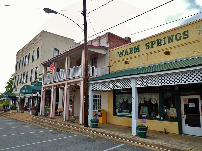
File:WARM_SPRINGS,_GA.JPG · Wikimedia Commons · See Wikimedia Commons
Warm Springs
Sign in to saveAlso known as Bullochville, Warm Springs, Georgia, Warm Springs, GA
city in Meriwether County, Georgia, United States
Key facts
- Country
- United States
- State
- Georgia
- County
- Meriwether
- Total
- 1.54 sq mi (3.98 km )
- Land
- 1.50 sq mi (3.89 km )
- Water
- 0.035 sq mi (0.09 km )
- Elevation
- 930 ft (280 m)
- Density
- 309.8/sq mi (119.62/km )
- Time zone
- UTC-5 ( Eastern (EST) )
- Summer dst
- UTC-4 (EDT)
- Fips code
- 13-80480
- Gnis feature id
- 0324851
- Website
- warmspringsga .com
via Wikipedia infobox
Wikidata facts
- Official name
- Warm Springs
- Country
- United States
- Located in
- Meriwether County
- Population
- 465
- Area
- 3.581036
- Elevation
- 280
- Time zone
- Eastern Time Zone
- Official website
- www.warmspringsga.com
- Image
- WARM SPRINGS, GA.JPG
- Households
- 165
- Dialing code
- 706
Show 5 more facts
- postal code
- 31830
- Commons category
- Warm Springs, Georgia
- P8168
- Margaret Drabble
- water as percent of area
- 2.4945
- per capita income
- 15800
Sources (8)
via Wikidata · CC0
~8 min read
Encyclopedic overview
Warm Springs is a city in Meriwether County, Georgia, United States. The population was 465 at the 2020 census.
History
Excerpted from Wikipedia’s “Warm Springs” article, available under the CC BY-SA 4.0 licence.