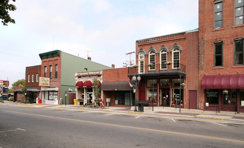
File:Warsaw-indiana-downtown.jpg · Wikimedia Commons · See Wikimedia Commons
Key facts
- Country
- United States
- State
- Indiana
- County
- Kosciusko
- Townships
- Plain and Wayne
- Mayor
- Jeff Grose ( R )
- Total
- 14.76 sq mi (38.22 km )
- Land
- 13.40 sq mi (34.70 km )
- Water
- 1.36 sq mi (3.52 km )
- Elevation
- 810 ft (250 m)
- Estimate 2022
- 16,111
- Density
- 1,179.6/sq mi (455.44/km )
- Time zone
- UTC−05:00 ( Eastern (EST) )
- Summer dst
- UTC−04:00 ( EDT )
- Zip codes
- 46580-46582
- Fips code
- 18-80306
- Website
- warsaw .in .gov
via Wikipedia infobox
Wikidata facts
- Instance of
- city in the United States
- Named after
- Warsaw
- Official name
- Warsaw
- Country
- United States
- Located in
- Kosciusko County
- Population
- 15804
- Area
- 33.448571
- Elevation
- 252
- Capital of
- Kosciusko County
- Official website
- www.warsawcity.net
- Image
- Warsaw-indiana-from-above.jpg
- Households
- 6519
- Dialing code
- 574
- Motto
- living, working, playing
Show 8 more facts
- Commons category
- Warsaw, Indiana
- postal code
- 46582
- category of associated people
- Category:People from Warsaw, Indiana
- P8168
- Solvozh
- water as percent of area
- 10.3616
- per capita income
- 26001
- described by source
- Encyclopædia Britannica 11th edition
- nickname
- Orthopedic Capital of the World
Sources (7)
via Wikidata · CC0
~12 min read
Encyclopedic overview
Warsaw is a city in and the county seat of Kosciusko County, Indiana, United States. Warsaw has a population of 15,804 as of the 2020 U.S. census. Warsaw also borders a smaller town, Winona Lake.
Etymology
Excerpted from Wikipedia’s “Warsaw” article, available under the CC BY-SA 4.0 licence.