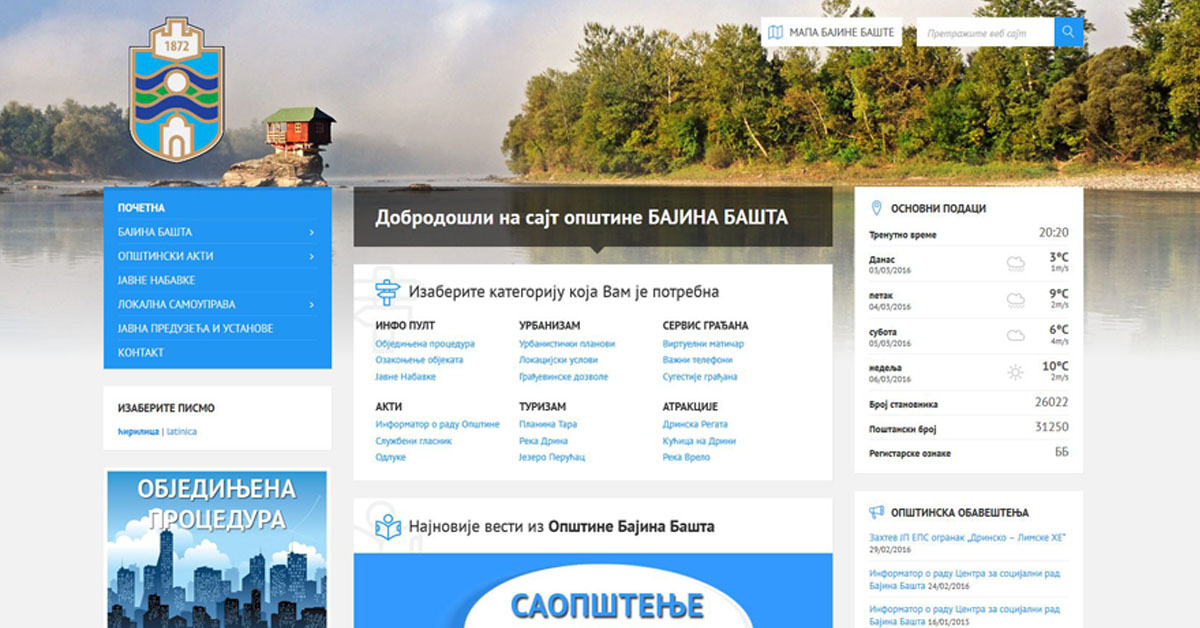
Official website (https://bajinabasta.rs/)
Bajina Bašta
Sign in to savetown and municipality in Serbia
Key facts
- Country
- Serbia
- Region
- Šumadija and Western Serbia
- District
- Zlatibor
- Mayor
- Milenko Ordagić ( SNS )
- Town
- 3.13 km (1.21 sq mi)
- Municipality
- 673 km (260 sq mi)
- Elevation
- 257 m (843 ft)
- Town density
- 2,870/km (7,420/sq mi)
- Municipality density
- 35.0/km (90.6/sq mi)
- Time zone
- UTC+1 ( CET )
- Summer dst
- UTC+2 ( CEST )
- Area code
- +381(0)31
- Car plates
- BB
- Website
- www .bajinabasta .rs
via Wikipedia infobox
Official website
Почетна - Општина Бајина Башта
Недирнута природа, лепота планине, шуме, реке, језера, урођено гостопримство људи, Тара, Дрина и Бајина Башта Вас чекају - Добродошли у Бајину Башту
bajinabasta.rs →Link to the official site · 4,741 chars · not written by Vinony
Wikidata facts
- Country
- Serbia
- Located in
- Bajina Bašta Municipality
- Population
- 26022
- Area
- 673
- Elevation
- 257
- Time zone
- Central European Time
- Capital of
- Bajina Bašta Municipality
- Official website
- bajinabasta.rs
- Image
- BajinaBastaMainStreet.jpg
- Dialing code
- 031
- Licence plate code
- UE
Show 5 more facts
- postal code
- 31250
- category of associated people
- Category:People from Bajina Bašta
- category for people born here
- Q44718140
- Commons category
- Bajina Bašta
- topic's main category
- Category:Bajina Bašta
via Wikidata · CC0
~15 min read
Encyclopedic overview
Bajina Bašta (Serbian Cyrillic: Бајина Башта, pronounced [bâjina bǎːʃta]) is a town and municipality located in the Zlatibor District of western Serbia. The town lies in the valley of the Drina river at the eastern edge of Tara National Park.
According to the 2022 census, the town's population is 8,971 inhabitants, while the municipality has 23,533 inhabitants.
Excerpted from Wikipedia’s “Bajina Bašta” article, available under the CC BY-SA 4.0 licence.