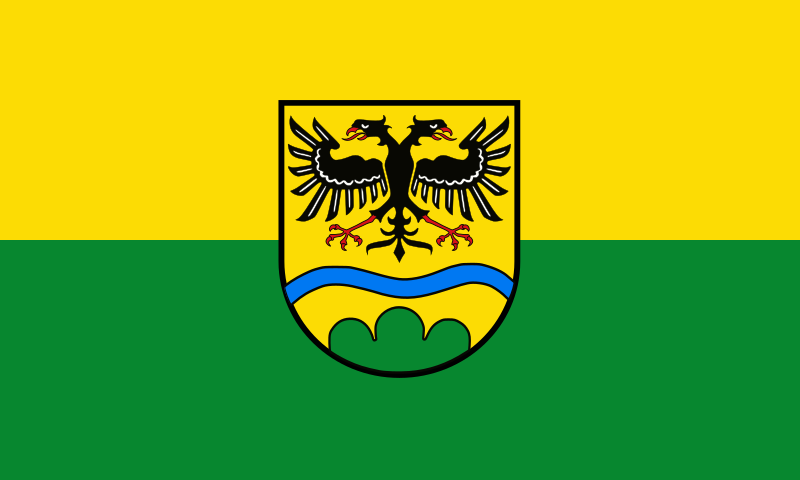
File:Flagge_Landkreis_Deggendorf.svg · Wikimedia Commons · See Wikimedia Commons
Key facts
- Country
- Germany
- State
- Bavaria
- Adm region
- Lower Bavaria
- Capital
- Deggendorf
- District admin
- Bernd Sibler ( CSU )
- Total
- 861 km (332 sq mi)
- Density
- 142/km (367/sq mi)
- Time zone
- UTC+01:00 ( CET )
- Summer dst
- UTC+02:00 ( CEST )
- Vehicle registration
- DEG
- Website
- landkreis-deggendorf.de
via Wikipedia infobox
Wikidata facts
- Instance of
- electoral unit
- Official name
- Bezirksamt Deggendorf
- Country
- Bavaria
- Located in
- Lower Bavaria
- Contains
- Metten
- Capital
- Deggendorf
- Population
- 119204
- Area
- 572.16
- Elevation
- 309
- Time zone
- UTC+02:00
- Shares border with
- Deggendorf
- Highest point
- Einödriegel
- Official website
- www.landkreis-deggendorf.de
- Households
- 8284
- Licence plate code
- DEG
Show 9 more facts
- Commons category
- Landkreis Deggendorf
- category of associated people
- Category:People from Deggendorf (district)
- topic's main category
- Category:Deggendorf (district)
- twinned administrative body
- Plzeň-North District
- male population
- 59547
- female population
- 19817
- number of houses
- 6555
- inception
- 1862-07-01
- topic has template
- Template:Cities and towns in Deggendorf
via Wikidata · CC0
~1 min read
Encyclopedic overview
Deggendorf is a Landkreis (district) in Bavaria, Germany. It is bordered by (from the north and clockwise) the districts of Regen, Freyung-Grafenau, Passau, Rottal-Inn, Dingolfing-Landau and Straubing-Bogen.
History
Excerpted from Wikipedia’s “Deggendorf” article, available under the CC BY-SA 4.0 licence.